What is recorded here
Located in the N interior of Caherconnell cashel (CL009-030010-), this subrectangular house (int. dims. c. 10m E–W; c. 5m N–S) is defined by stone walls (max. Wth 1.2m; max. H 0.8m). An excavation trench (5.4m NNE–SSW; 1m ESE–WNW; max. D 0.8m) was dug across this house in 2007 (Hull and Comber 2008; Comber and Hull…
Read the whole record
From the National Monuments Service (Archaeological Survey of Ireland) record CL009-030016
Places near here
Photo credits
- Maker not stated on source page, en.wikipedia.org
- Maker not stated on source page, www.pinterest.com
- Maker not stated on source page, www.alamy.com
- Maker not stated on source page, nigelborrington.com
- Maker not stated on source page, commons.wikimedia.org
- Roger Diel, Geograph · CC BY-SA 2.0
- Maker not stated on source page, au.pinterest.com
- Andreas F. Borchert, Wikimedia Commons · CC BY-SA 4.0
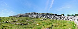 Fairy fort / stone ringfort in CaherconnellFairy fort / stone ringfort · 342 yd
Explorer Tom Fairy fort / stone ringfort in Caherconnell inspired a bad poem once that rhymed 'wall' with 'tall' and 'grass' with…
 Fairy fort / stone ringfort in PoulanineFairy fort / stone ringfort · 635 yd
Explorer Tom Fairy fort / stone ringfort in Poulanine is smaller than its mate but twice as cheeky. The drama between this spot and…
 Kilcorney Church (in Ruins)Church · 1251 yd
Explorer Tom Kilcorney Church is on a rocky knoll and was in 'great dilapidation' back in 1839, which means it’s been falling apart…
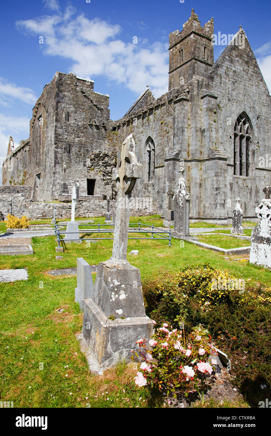 Mapped cemeteryCemetery · 1256 yd
Explorer Tom Mapped cemetery was saved by a hero who everyone forgot because he was wearing a very ugly hat and nobody can remember…
 Fairy fort / stone ringfort in KilcorneyFairy fort / stone ringfort · 1436 yd
Explorer Tom Fairy fort in Kilcorney was built by a giant who had a bad back and couldn't quite finish the wall properly, which…
Cist in KilcorneyCist · 1474 ydExplorer Tom Cist in Kilcorney has pointed stones, which is weird because cists aren't supposed to be pointy. It’s hiding a scandal…
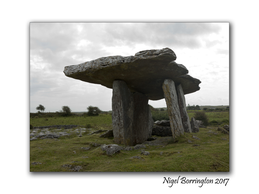 Megalithic tomb in KilcorneyMegalithic tomb · 1474 yd
Explorer Tom Megalithic tomb in Kilcorney hates nosey neighbours and has arranged its slabs specifically so you can’t see inside…
 Stone circle in KilcorneyStone circle · 1474 yd
Explorer Tom Stone circle in Kilcorney is basically a tiny, rocky huddle of friends sharing secrets around a flat slab in the…
 Cave of the Wild HorsesCave · 1487 yd
Explorer Tom Cave of the Wild Horses near Carran has an imaginary twin across the sea that never stops complaining about the…
 Wedge tomb in Baur SouthWedge tomb · 1701 yd
Explorer Tom Another wedge tomb in Baur South has two bulky slabs staring at each other like they have a personal grudge. There’s a…
 Site of Lissylisheen CastleCastle, tower house · 1.9 mi
Explorer Tom Site of Lissylisheen Castle is basically a fancy pile of dirt with attitude. The name probably means 'The Place Where…
 Noughaval CrossMonument · 2.4 mi
Explorer Tom Noughaval Cross in Noughaval (Burren), County Clare is a market stone from 1725 that still thinks it's running the…
More historic places in County Clare · All of County Clare

What do you know about this place?Tap to add a comment or ask a question