What is recorded here
Located on a rise at the centre of a NW-SE drumlin ridge, and inside the bank of rath (MO027-060001-) at N. This is a subrectangular area (ext. dims 7.1m NW-SE; 6.6m NE-SW) defined by earthen banks (Wth 1.35m; max. H 0.35m), with an entrance at the W end of the NW side. This entrance is connected to a gap in the perimeter of the rath at NW by a passage (L 5.3m; Wth 2.5m), which is defined by two earthen banks (Wth 2m; H 0.1-0.3m).
Revised by: Michael Moore
Date of revised upload: 31 January 2018
The monument record does not grant public access. Check the route and ask the landowner before entering private land.
- What survives
- Recorded monument
Places near here
 Enclosure in CorrinentyEnclosure · 1445 yd
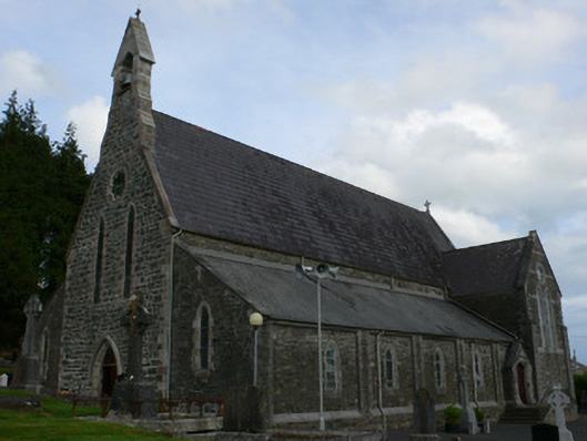 Saint Michael's Catholic Churchchurch/chapel · 1609 yd
 Man-made underground passage in OuvryMan-made underground passage · 1.2 mi
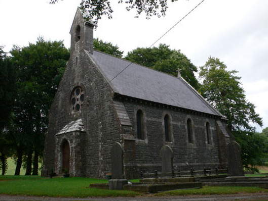 Saint Patrick's Church (Magheross)church/chapel · 1.3 mi
 Tally WoodWood · 1.9 mi
 RaferaghMountain / peak · 2.3 mi
 Sillan LakeshoreWood · 2.9 mi
 Bawn in LisdrumskeaBawn · 2.9 mi
 CarrickcreenyMountain / peak · 3.0 mi
 Bush IslandIslet · 3.0 mi
 Gull IslandIslet · 3.1 mi
 Senator Billy Fox 1939 - 1974Memorial · 4.5 mi
Other information
Photo: Credit not shown in the picture search · Rights wording not checked; contact us if this picture should be removed