What is recorded here
Situated within ‘Doon’ promontory fort (MA084-005001-). The house is situated about midway along the platform and only 3m S of another house (MA084-005003-). Identified simply by Westropp as ‘another house’ (1911a, 24; 1914, 328). It consists of the grass-mantled foundation lines of a roughly rectangular structure (7.55 WNW–ESE, 4.8m NNW–SSE) with notably rounded external corners. The enclosing bank is well defined (H 0.5m max.), its line accentuated by a mane-like ridge of grass along its summit. The bank is, however, uneven in profile, with notable gaps close to north-western and south-western corners. The original entrance (Wth 0.8m) appears to have been at the east-south-eastern end. The interior is uneven underfoot.
The above description is derived from: New Survey of Clare Island. Volume 5: Archaeology. Edited by Paul Gosling, Conleth Manning and John Waddell. (Royal Irish Academy, Dublin. 2007). In certain instances the entries have been revised and updated.
Date of upload: 29 November 2018
The monument record does not grant public access. Check the route and ask the landowner before entering private land.
- What survives
- Recorded monument
Places near here
 DoonPromontory fort, coastal · 45 yd
 farm housefarm house · 677 yd
 Enclosure in BunnamohaunEnclosure · 1523 yd
 KnockmoreMountain / peak · 1.2 mi
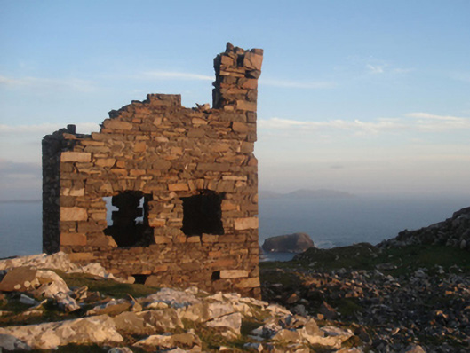 Shivel Head Signal Towersignal tower · 1.2 mi
 Clare IslandIsland · 1.5 mi
 ScalpatruceMountain / peak · 1.5 mi
 Granuaile's CastleCastle · 2.9 mi
 Caher IslandIsland · 5.1 mi
 Turloughbeg StrandBeach / strand · 5.2 mi
 Carrownisky BeachBeach / strand · 5.8 mi
 Kildavnet CastleCastle, tower house · 6.9 mi