What is recorded here
Within the SW quadrant of a rath (LF027-015001-). A report in 1976 (SMR file) noted the outline of a possible house site that is no longer visible at ground level.
Compiled by: Patrick F. O'Donovan
Date of upload: 24 October 2012
The monument record does not grant public access. Check the route and ask the landowner before entering private land.
- What survives
- Recorded monument
Places near here
 Enclosure in Rathmore (shrule By.)Enclosure · 146 yd
 European BeechEuropean Beech · 204 yd
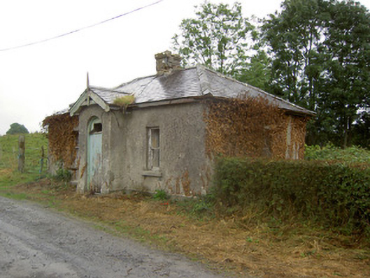 Cartron Housegate lodge · 513 yd
 IndicatedFairy fort / earthen ringfort · 654 yd
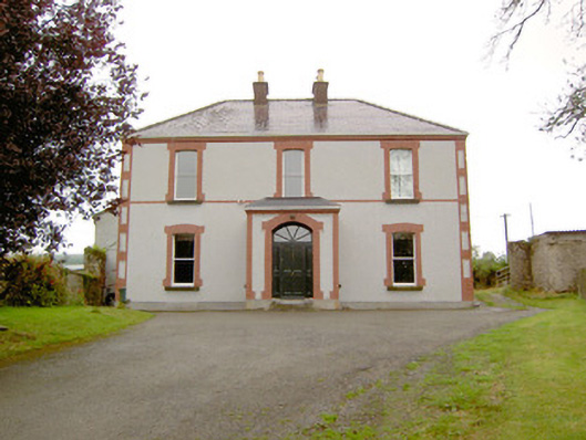 Rathmore Househouse · 712 yd
 CastleCastle, motte · 1.2 mi
 Noughaval CemeteryArchaeological place · 1.6 mi
 OutlinedCastle, unclassified · 1.6 mi
 Target WoodWood · 2.6 mi
 Newcastle WoodsForest · 2.7 mi
 Leveret IslandIslet · 4.7 mi
 Corlea Bog Walk Canal BranchWalking route · 5.0 mi
Other information
Photo: Credit not shown in the picture search · Rights wording not checked; contact us if this picture should be removed