What is recorded here
Situated N of an enclosure (SL013-079----) in marshland. Described by a previous fieldworker (SMR (1989) file) as a subrectangular area (int. dims. 4.65m N-S; 7.75m E-W) enclosed by a bank which is only visible in places. No indication of an entrance. No visible trace of this potential monument is now visible.
Compiled by: Mark Keegan
Date of upload: 19 January 2011
This remains an important historical record, but the official description says the monument is no longer visible or has been destroyed. The monument record does not grant public access. Check the route and ask the landowner before entering private land.
- What survives
- No visible remains or recorded as destroyed
Places near here
 Enclosure in PortavaudEnclosure · 56 yd
 IndicatedFairy fort / earthen ringfort · 103 yd
 CastleCastle, ringwork · 1038 yd
 Derk HouseOfficially recorded historic building · 1046 yd
 Portavaud PointHeadland · 1382 yd
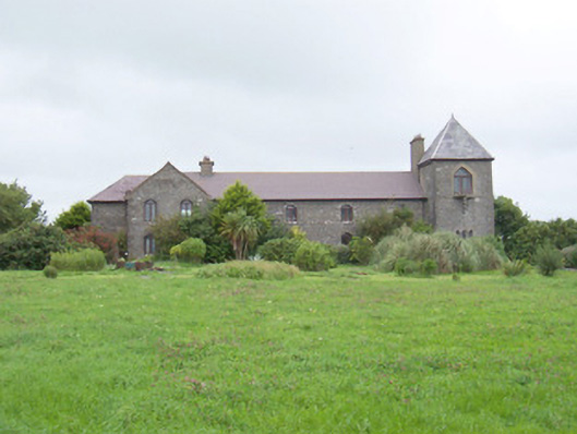 The Old Coastguard Stationcoastguard station · 1453 yd
 Bawn in CarrowbrickeenBawn · 1534 yd
 Ballinlig PointHeadland · 1585 yd
 Lahanacappul IslandIslet · 1593 yd
 Giant's GraveArchaeological place · 1.4 mi
 CulleenamoreBeach / strand · 1.6 mi
 Strandhill BeachBeach / strand · 1.9 mi