What is recorded here
Situated on a slight rise with in the field system (ME015-034----). Amongst the small grass-covered plots is a single house platform (dims 12m E-W; 5.3m N-S) defined by low scarps. There are some old quarry holes in the immediate vicinity.
Compiled by: Michael Moore
Date of upload: 9 January, 2019
The monument record does not grant public access. Check the route and ask the landowner before entering private land.
- What survives
- Recorded monument
Places near here
 Cross in MoylaghCross · 89 yd
 Moylagh FortFairy fort / earthen ringfort · 98 yd
 Moat CastleCastle, unclassified · 163 yd
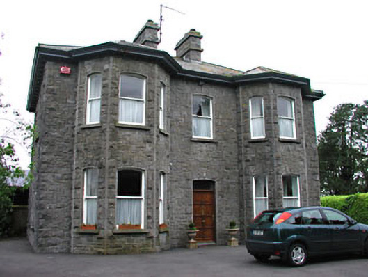 Saint Mary'spresbytery/parochial/curate's house · 616 yd
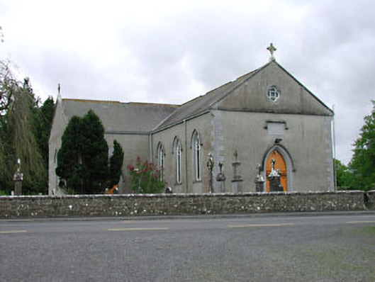 Saint Mary's Catholic Churchchurch/chapel · 670 yd
 European BeechEuropean Beech · 1.2 mi
 Green CastleCastle, unclassified · 1.3 mi
 Zip WireHeritage attraction · 1.4 mi
 European YewEuropean Yew · 1.4 mi
 Seafin HillMountain / peak · 1.7 mi
 C11Named rock · 2.1 mi
 Carnbane WestMountain / peak · 2.1 mi