
What is recorded here
Situated on a slight rise in a col between drumlins to the NW and SE with slightly lower ground to the NE and SW, and inside the bank of rath (MO027-056001-) at NE. This was described in 1967 as a rectangular area (int. dims 5m NW-SE; 5m NE-SW) defined by spreads of earth and stone (Wth 1.5m; H 0.7-0.8m) with entrance gaps at SE (Wth 1.6m) and NW (Wth 1.3m). It had been removed by a quarry by 1995 (OSAP).
Revised by: Michael Moore
Date of revised upload: 31 January 2018
The monument record does not grant public access. Check the route and ask the landowner before entering private land.
- What survives
- Recorded monument
Places near here
 Wedge tomb in LisnadarraghWedge tomb · 190 yd
 farmyard complexfarmyard complex · 358 yd
 Burial ground in Shankill (cremorne By)Burial ground · 542 yd
 CarrickcreenyMountain / peak · 1054 yd
 Sillan LakeshoreWood · 1581 yd
 Gull IslandIslet · 1589 yd
 Bush IslandIslet · 1657 yd
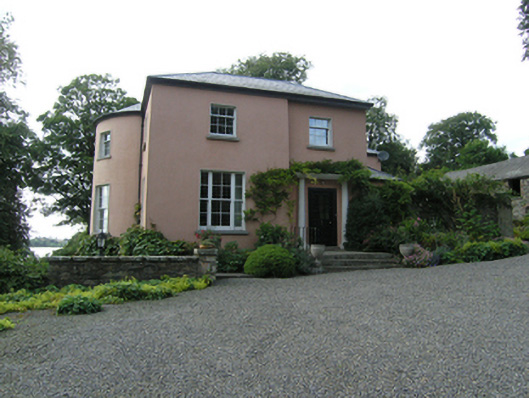 Lough Sillan Houserectory/glebe/vicarage/curate's house · 1676 yd
 Bawn in LisdrumskeaBawn · 1.1 mi
 Senator Billy Fox 1939 - 1974Memorial · 2.5 mi
 RaferaghMountain / peak · 2.6 mi
 Kinnea Corlattylannan ForestForest · 3.2 mi
Other information
Photo: Credit not shown in the picture search · Rights wording not checked; contact us if this picture should be removed