What is recorded here
Located just off the crest of the SE-facing slope of an E-W drumlin ridge and inside the bank of rath (ME002-029----) at ENE. This is a rectangular grass-covered area (int. dims 5.9m NNW-SSE; 2.7m ENE-WSW) defined by low banks (Wth c. 2.3m; H 0.3-0.5m) and with an entrance (Wth of base 1.1m) at W.
Compiled by: Michael Moore
Date of upload: 31 August 2018
The monument record does not grant public access. Check the route and ask the landowner before entering private land.
- What survives
- Recorded monument
Places near here
 Portal tomb in ErveyPortal tomb · 1187 yd
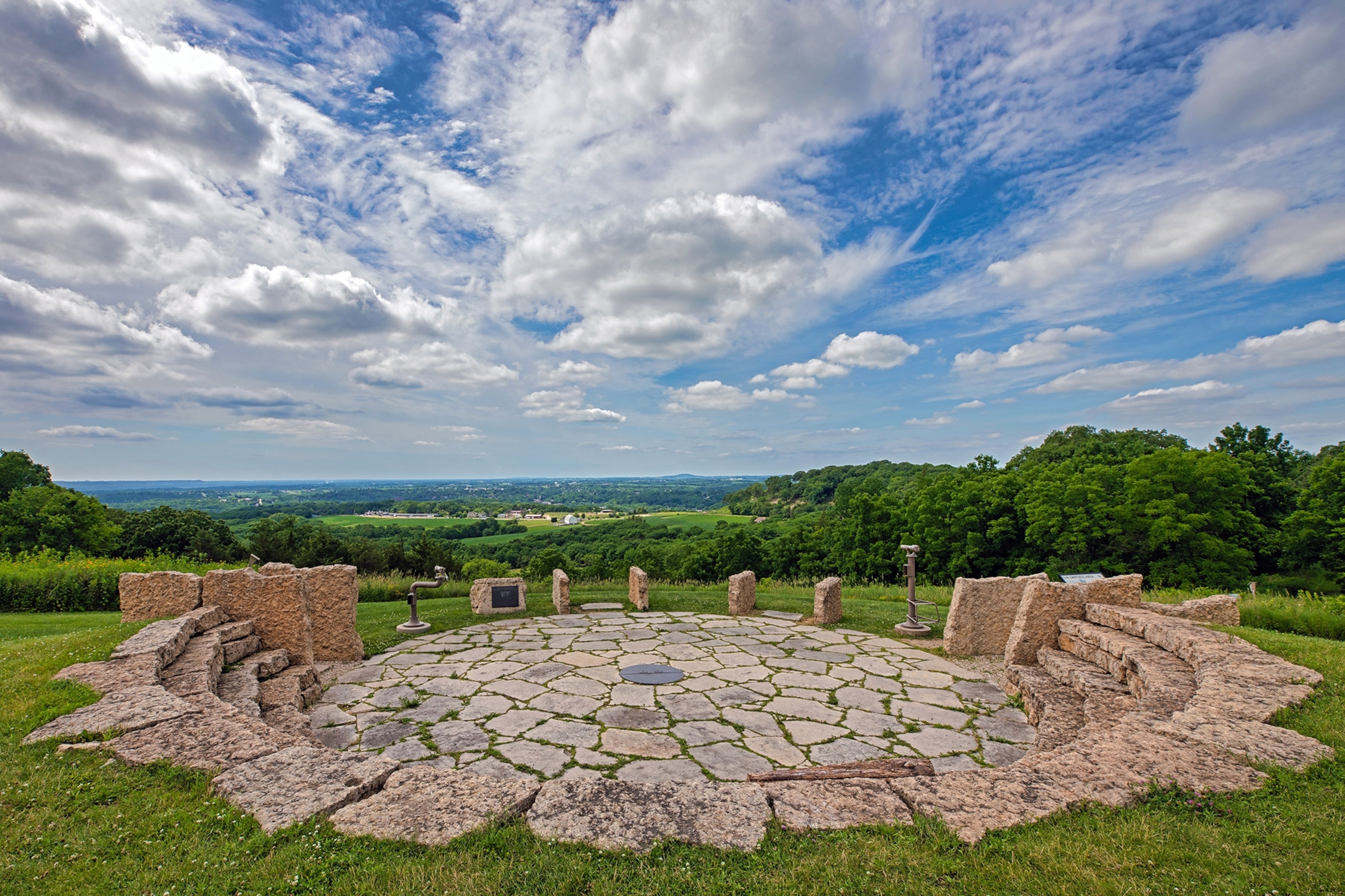 Rockeys FortFairy fort / earthen ringfort · 1239 yd
 The CurraghWood · 1265 yd
 Miltown GlenWood · 1293 yd
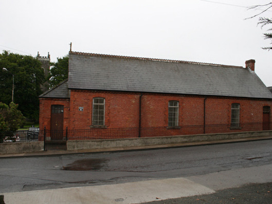 Kingscourt Parochial Hallchurch hall/parish hall · 1.6 mi
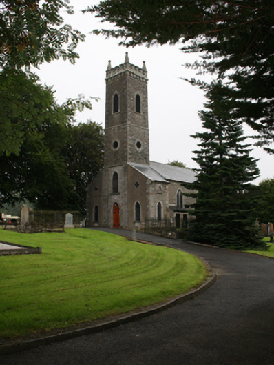 St Ernan's Church of Ireland Churchchurch/chapel · 1.6 mi
 CabraMountain / peak · 2.4 mi
 In Memory of Our DadMemorial · 2.7 mi
 Castle ruinsCastle, unclassified · 2.7 mi
 Natural Play AreaMemorial · 2.8 mi
 Castle in ruinsCastle, unclassified · 2.8 mi
 BarleyhillMountain / peak · 2.9 mi