What is recorded here
Listed In SMR (1992) as an unlocated dwelling based on refernce to dwelling on Straffords Survey of 1637 (NLI 16.I.17 (3) ) which indicates dwelling in Townland. Unlocated within townland.
The above description is derived from 'The Archaeological Inventory of County Tipperary. Vol. 1 - North Tipperary' compiled by Jean Farrelly and Caimin O'Brien (Dublin: Stationery Office, 2002). In certain instances the entries have been revised and updated in the light of recent research.
Date of upload/revision: 22 September 2008
The monument record does not grant public access. Check the route and ask the landowner before entering private land.
- What survives
- Recorded monument
Places near here
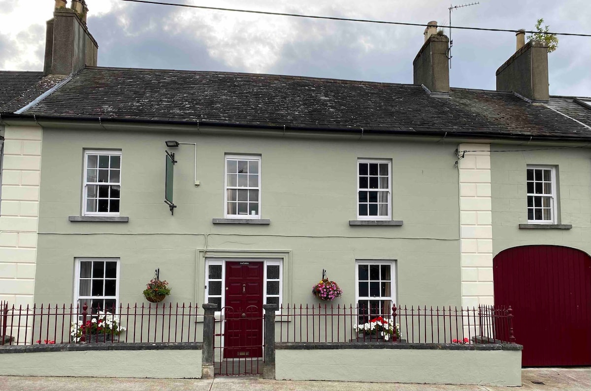 Cashlaunteigeboght (in ruins)Castle, tower house · 1555 yd
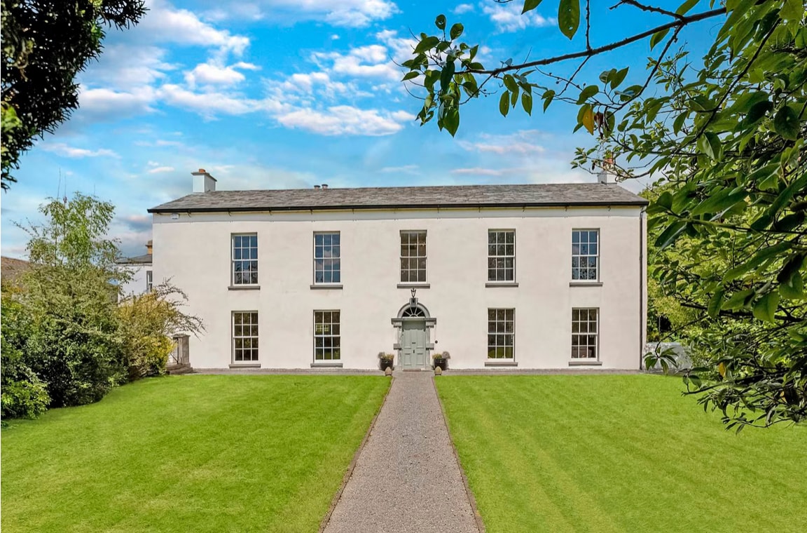 Enclosure in Coolbaun (kilbarron Par.)Enclosure · 1623 yd
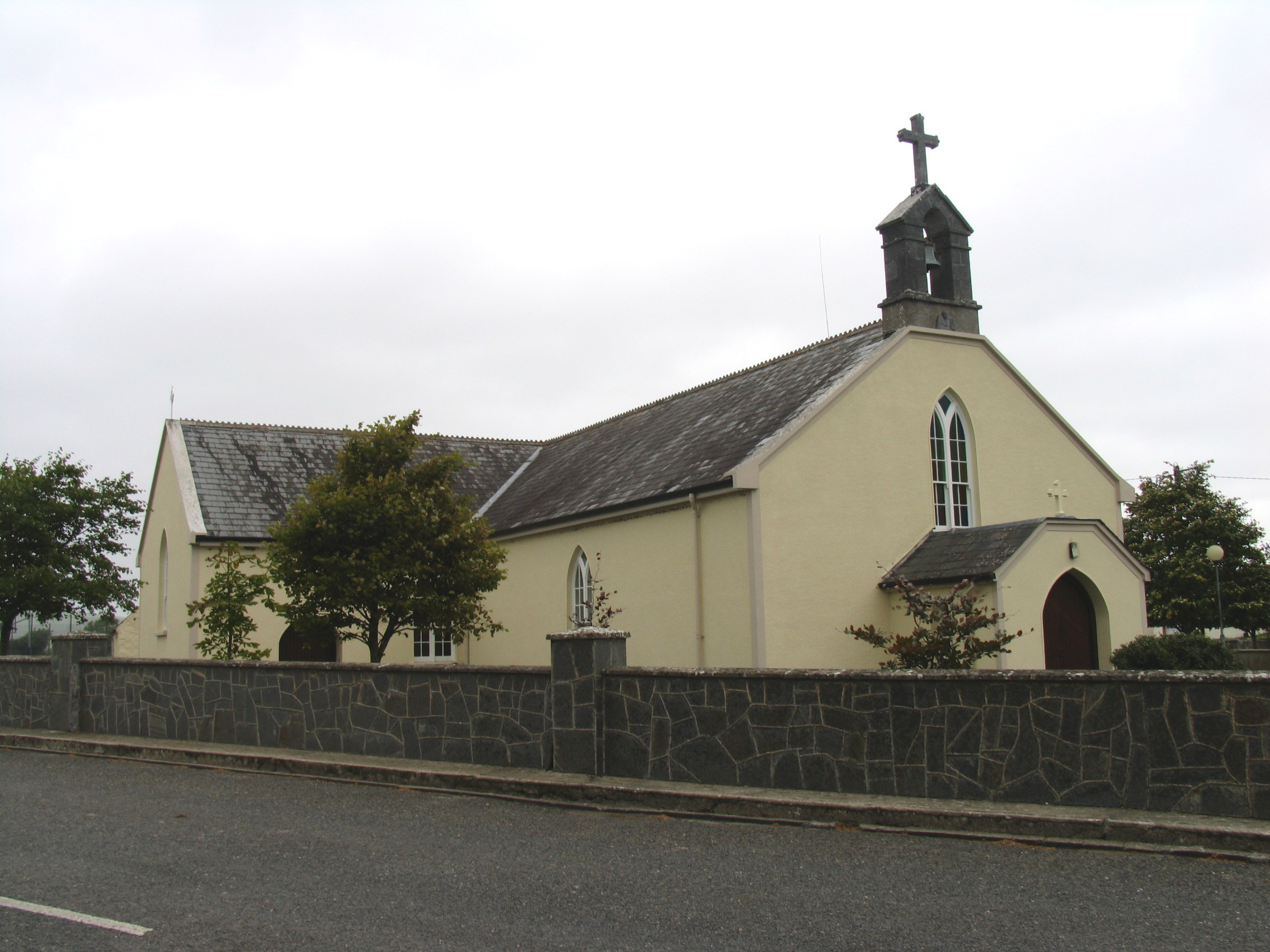 Saint Barron's Catholic Churchchurch/chapel · 1.0 mi
 Killea fortFairy fort / earthen ringfort · 1.0 mi
 Leserragh Househouse · 1.1 mi
 Tullan CastleCastle · 1.7 mi
 Keavy IslandIslet · 1.8 mi
 Foot's IslandsIslet · 1.8 mi
 Carrickboy WoodForest · 2.3 mi
 Kylenameely WoodWood · 2.8 mi
 Cregg PointHeadland · 4.0 mi
 Lough DergNationally known place · 4.1 mi