
What is recorded here
The remains of a rectangular house site (L 8.6m; Wth 7.4m) defined by a very slight earth and stone bank (Wth 0.8m; H 0.15m) are visible in the W quadrant of ringfort (WM019-032----). An entrance is not recognisable.
Compiled by: Alison McQueen, Vera Rahilly and Caimin O’Brien
Date of upload: 03 April 2019
The monument record does not grant public access. Check the route and ask the landowner before entering private land.
- What survives
- Recorded monument
Places near here
 Partially hachuredFairy fort / earthen ringfort · 602 yd
 CastlemitchelCastle, unclassified · 834 yd
 TullaghanCastle, tower house · 1393 yd
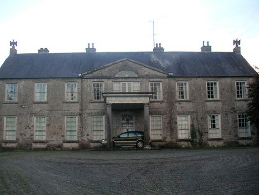 Levington Parkcountry house · 1553 yd
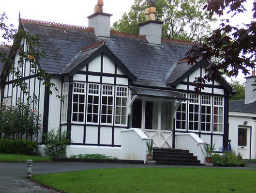 Rathgowanhouse · 1595 yd
 OutlinedFairy fort / earthen ringfort · 1630 yd
 United Nations War MemorialMemorial · 1.1 mi
 Saint Brigid's WellSpring · 1.3 mi
 Lady's IslandWood · 1.4 mi
 Srudarra IslandIslet · 1.5 mi
 Mullingar Cathedral MuseumMuseum · 1.6 mi
 Famine MemorialMemorial · 1.8 mi
Other information
Photo: Credit not shown in the picture search · Rights wording not checked; contact us if this picture should be removed