What is recorded here
Situated on a low ridge, in pasture, with good views to the S, but limited elsewhere. On a level, raised platform, in the NW quadrant of ringfort (WM018-144----) are the remains of a rectangular-shaped house site (dims. 8.2m NNW-SSE; 5m ENE-WSW) defined by the faint outline of a very low bank (overall Wth 2.5m; H 0.5m) with some stones visible in places.
See attached plan and profile of monument surveyed and drawn by the ASI.
Compiled by: Alison McQueen, Vera Rahilly and Caimin O’Brien
Date of upload: 12 February 2019
The monument record does not grant public access. Check the route and ask the landowner before entering private land.
- What survives
- Recorded monument
Places near here
 OutlinedBawn · 427 yd
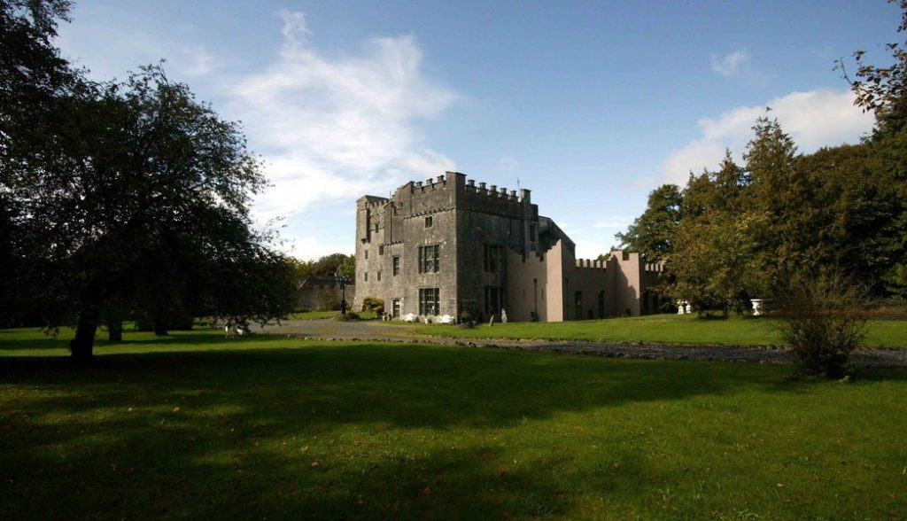 Castle (in Ruins)Castle, tower house · 459 yd
 gates/railings/wallsgates/railings/walls · 554 yd
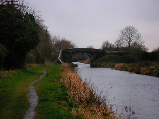 Bellmount Bridgebridge · 607 yd
 Partially hachuredFairy fort / earthen ringfort · 950 yd
 Ecclesiastical enclosure in Kilpatrick (moyashel & Magheradernon By.)Ecclesiastical enclosure · 1061 yd
 WestmeathVisitor information · 3.0 mi
 Srudarra IslandIslet · 3.4 mi
 Carrickphilbin IslandIslet · 3.7 mi
 Ancient Ring FortWood · 3.7 mi
 GinkgoGinkgo · 11 mi
 Kilmalady HillMountain / peak · 12 mi
Other information
Photo: Credit not shown in the picture search · Rights wording not checked; contact us if this picture should be removed