What is recorded here
Listed in SMR (1992) and RMP (1998) as dwelling possible. Two thatched house are mentioned the Civil Survey (1654-6) (Simington 1934, 55). They were tentatively located to the townland house in Gurteen, indicated as 'Gurteen House' on the 6" OS 6-inch map. Field inspection at the location established that there are no surface remains of the houses mentioned in the Civil Survey. Houses remain unlocated within the townland.
The above description is derived from 'The Archaeological Inventory of County Tipperary. Vol. 1 - North Tipperary' compiled by Jean Farrelly and Caimin O'Brien (Dublin: Stationery Office, 2002). In certain instances the entries have been revised and updated in the light of recent research.
Date of upload/revision: 22 September 2008
The monument record does not grant public access. Check the route and ask the landowner before entering private land.
- What survives
- Recorded monument
Places near here
 Lumcloon WoodWood · 1.2 mi
 Rockview Househouse · 1.2 mi
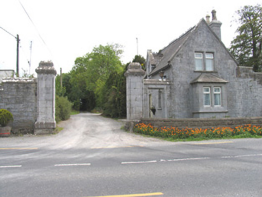 Derrylahan Parkgate lodge · 1.4 mi
 Mass-rock in ClonfinaneMass-rock · 1.5 mi
 Windmill (in ruins)Windmill · 1.8 mi
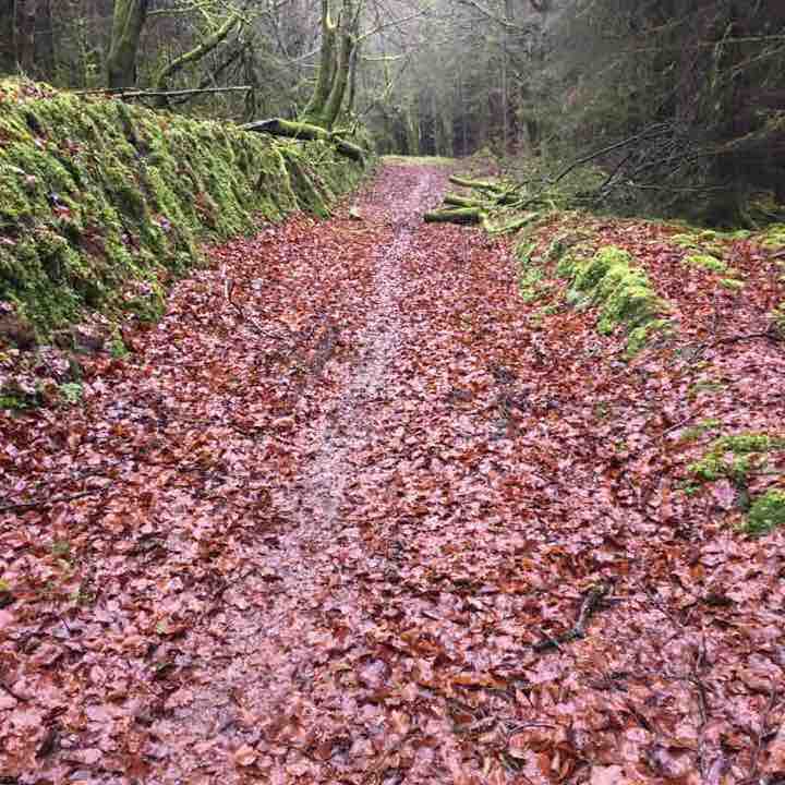 Killeen WoodWood · 1.8 mi
 Carrig Castle (in ruins)Castle, unclassified · 1.9 mi
 Site of Pallas CastleCastle, unclassified · 2.0 mi
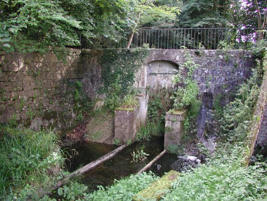 Birr Castlemachinery · 2.7 mi
 The Great Telescope 'Leviathan'Heritage attraction · 2.7 mi
 Waterfall PointViewpoint · 2.8 mi
 James Franklin FullerMemorial · 3.0 mi