
What is recorded here
Situated on a gentle sloping hill with rough marshy land to the N and pasture to the S. Described in the OS Letters as a small square structure (24ft x 24ft (7.3m x 7.3m); wall T 4ft 4in (1.3m)) built with hammer-dressed limestone, the walls of which stand 14ft (4.2m) high. A small round tower (int. diam. 6ft 2in (1.9m)) with a conical cap was attached to the SE corner standing to a height of 17ft (5.2m) (O'Flanagan 1930, vol. 2, 79). The castle was demolished during a road widening scheme in 1973 (FitzPatrick 1985, vol. 2, 80). No visible remains at ground level.
The above description is derived from 'The Archaeological Inventory of County Tipperary. Vol. 1 - North Tipperary' compiled by Jean Farrelly and Caimin O'Brien (Dublin: Stationery Office, 2002). In certain instances the entries have been revised and updated in the light of recent research.
Date of upload/revision: 22 September 2008
Carrig Castle is believed to have been built by the Ó Dálaigh (O'Daly) family, a Gaelic Irish dynasty, during the 15th or 16th century. It is remembered as a modest but strategically positioned defensive structure reflecting the local power dynamics of the period.
The monument record does not grant public access. Check the route and ask the landowner before entering private land.
- What survives
- Recorded monument
Places near here
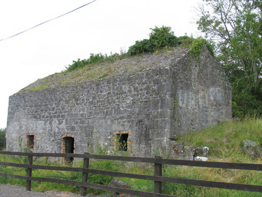 kilnkiln · 151 yd
 Catholic Church of the Annunciationchurch/chapel · 168 yd
 Windmill (in ruins)Windmill · 196 yd
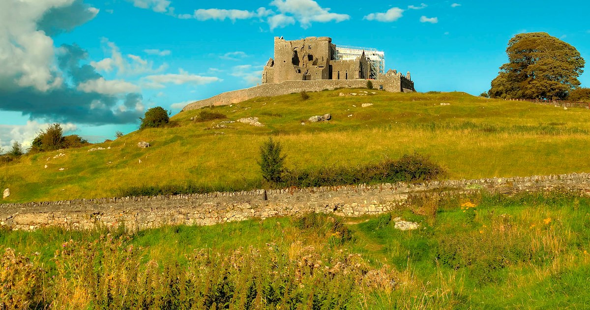 IndicatedFairy fort / earthen ringfort · 513 yd
 Clohaskin Castle (in Ruins)Castle, hall-house · 1680 yd
 Castle (in ruins)Castle, tower house · 1682 yd
 Killeen WoodWood · 2.1 mi
 Lumcloon WoodWood · 2.2 mi
 Waterfall PointViewpoint · 3.3 mi
 The Great Telescope 'Leviathan'Heritage attraction · 3.4 mi
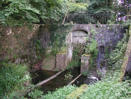 Birr Castlemachinery · 3.4 mi
 James Franklin FullerMemorial · 3.6 mi
Other information
Photo: Credit not shown in the picture search · Rights wording not checked; contact us if this picture should be removed