What is recorded here
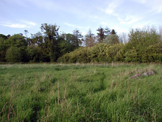
Situated on a small WNW-ESE ridge which is on the S-facing slope of a larger WNW-ESE ridge. The centre of rath (ME019-005----) was occupied by the foundations of a large, grass-covered house site (int. dims c. 10m E-W; 4m N-S) defined by low earthen banks. It had been removed by 1995 (OSAP).
Compiled by: Michael Moore
Date of upload: 27 January 2021
The monument record does not grant public access. Check the route and ask the landowner before entering private land.
- What survives
- Recorded monument
Places near here
 Font in GernonstownFont · 79 yd
 Embanked enclosureFairy fort / earthen ringfort · 221 yd
 Pollmore WoodWood · 1450 yd
 Boyle's Fox CovertWood · 1.3 mi
 Slane CastleCastle, unclassified · 1.5 mi
 Church in CarrickdexterChurch · 1.6 mi
 walled gardenwalled garden · 1.7 mi
 MoatCastle, motte · 1.9 mi
 Pat's Art StudioGallery · 2.2 mi
 RiverviewMemorial · 2.3 mi
 Mullagha HillMountain / peak · 2.6 mi
 Simpson's MountainMountain / peak · 2.9 mi