What is recorded here
Situated on a rise, in gently undulating pasture, with a good view of the surrounding landscape. Athlone to Mullingar railway line is c. 15m to SE. Inside ringfort (WM031-038----) are the remains of three house sites. A square-shaped house site is located in the NW quadrant. The remains of a rectangular-shaped house site defined by a wall to S and W, adjoins the bank of the ringfort at NE. A third house site is defined as a rectangular-shaped outline of a structure visible in the S quadrant.
Compiled by Alison McQueen, Vera Rahilly and Caimin O’Brien.
Date of upload: 13 November 2019
The monument record does not grant public access. Check the route and ask the landowner before entering private land.
- What survives
- Recorded monument
Places near here
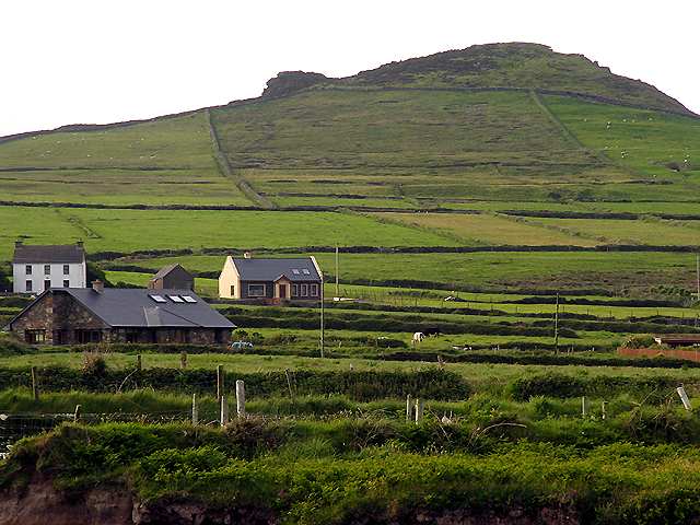 OutlinedEnclosure · 783 yd
 CastleCastle, unclassified · 929 yd
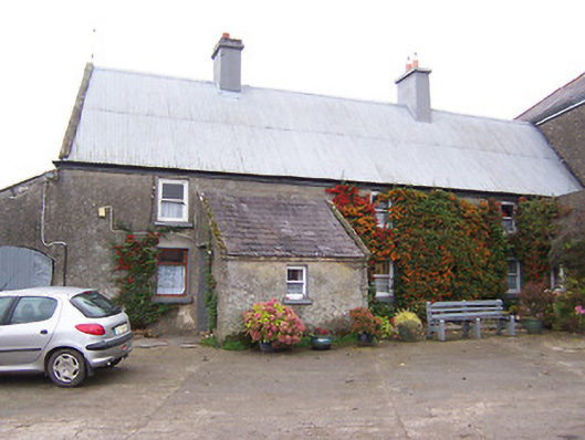 Garhy Lodgehouse · 1304 yd
 Rockfield Househouse · 1447 yd
 Partially outlinedEnclosure · 1645 yd
 Carn CastleCastle · 1.4 mi
 Sam's ParkForest · 2.3 mi
 KnockastiaMountain / peak · 3.5 mi
 Japanese pagoda treeJapanese pagoda tree · 3.9 mi
 Kilmalady HillMountain / peak · 5.2 mi
 Charles BianconiMemorial · 8.0 mi
 The Bob Traynor GalleryGallery · 8.1 mi