What is recorded here
At a rath (SL018-023001-). A short distance W of the centre of the rath interior is a subrectangular area defined by a low bank (Wth 1.7m; H 0.3-0.4m), possibly a house. It is subdivided into a slightly deeper, subcircular area at the S end (6m E-W; c. 5.8m N-S) and a rectangular area at the N end (7.6m N-S; 3.8m E-W).
Compiled by: Patrick F. O'Donovan
Date of upload: 19 January 2011
The monument record does not grant public access. Check the route and ask the landowner before entering private land.
- What survives
- Recorded monument
Places near here
 IndicatedFairy fort / earthen ringfort · 622 yd
 Fulacht fia in BallyeeskeenFulacht fia · 965 yd
 CastleCastle, tower house · 1020 yd
 Lady Margaret's TowerRuins · 1105 yd
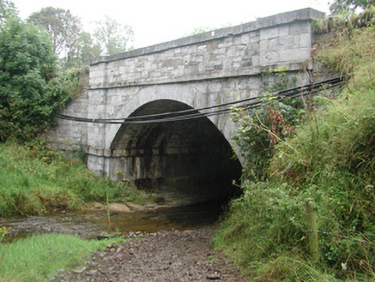 bridgebridge · 1196 yd
 Site of Dunneill CastleCastle, unclassified · 1.9 mi
 DonaghHeadland · 2.3 mi
 Aughris HeadHeadland · 3.7 mi
 Aughris BeachBeach / strand · 3.9 mi
 Knockalongy South-West TopMountain / peak · 4.0 mi
 Eamonn's TopMountain / peak · 4.1 mi
 Dunmoran StrandBeach / strand · 4.5 mi