
What is recorded here
Within the SW angle of a moated site (TS059-059----) which is located in wet, level pasture. The house consists of a square area (dims. 6.5m N-S; 6m E-W) defined by scarp (Wth 1m; H 0.15m; L 6m) to the N and E and by the scarp of the moated site to the S and W (L 6m). There is an entrance (Wth 0.85m) in centre of the E side. The causeway (Wth 2m) of the moated site is within the SW angle of the fosse, connecting this possible house to the outer bank.
Compiled by: Jean Farrelly
Date of upload: 26 August 2011
The monument record does not grant public access. Check the route and ask the landowner before entering private land.
- What survives
- Recorded monument
Places near here
 Enclosure in DrishaneEnclosure · 719 yd
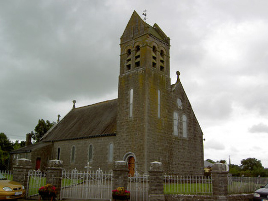 Saint Bridget's Catholic Churchchurch/chapel · 1044 yd
 DunnasgiathChurch · 1166 yd
 Site of CastleCastle, unclassified · 1212 yd
 Enclosure in MountwilliamEnclosure · 1305 yd
 Grantstown CastleCastle · 1.2 mi
 Dundrum Woods (Marl Bog)Forest · 2.4 mi
 Maudemount BogWood · 2.4 mi
 Soloheadbeg Ambushambush · 3.8 mi
 Soloheadbeg Ambush SiteMemorial · 4.0 mi
 I.R.A. 3rd. Tipperary Brigade MemorialMemorial · 4.3 mi
 It's a long way to TippereryHeritage attraction · 4.9 mi
Other information
Photo: Credit not shown in the picture search · Rights wording not checked; contact us if this picture should be removed