What is recorded here
Located on a slight NW-SE spur of the foothills of the Blackstairs Mountains between river valleys with a NW-SE stream c. 80m to the S. The foundations of a rectangular building (dims. 16m NE-SW; 8.5m NW-SE), visible as a stone spread (Wth c. 2m), are within the interior of rectangular enclosure (WX014-037001-).
Compiled by: Michael Moore
Date of upload: 26 April, 2012
The monument record does not grant public access. Check the route and ask the landowner before entering private land.
- What survives
- Recorded monument
Places near here
 IndicatedEnclosure · 1 yd
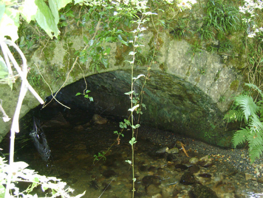 Cloroge Bridgebridge · 360 yd
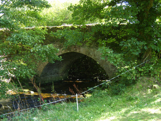 Ballycrystal Bridgebridge · 650 yd
 Embanked enclosureFairy fort / earthen ringfort · 1699 yd
 Clorogue BegMountain / peak · 1.1 mi
 Black Rock MountainMountain / peak · 2.3 mi
 Mount LeinsterMountain · 2.9 mi
 Irish Hangliding and Paragliding AssociationMemorial · 3.0 mi
 Coonogue WoodForest · 3.9 mi
 St Bridget's WellSpring · 3.9 mi
 Pedunculate OakPedunculate Oak · 4.0 mi
 1798 MemorialMemorial · 4.3 mi