What is recorded here
Situated on level ground in gently undulating pasture. Circular area (diam. 7m) enclosed by a bank of earth and stone (Wth 1.7m; int. H 0.35m). The bank is made up of an earthen core revetted on either side by thick limestone flags laid on edge (av. slab dims. L 0.6m; Wth 0.4m; H 0.35m). The revetting survives best SW-NW. A break (Wth 3m) in the bank at NE marks the position of the original entrance. This entrance appears to have been widened in modern times.
Compiled by: Mark Keegan
Date of upload: 19 January 2011
The monument record does not grant public access. Check the route and ask the landowner before entering private land.
- What survives
- Recorded monument
Places near here
 ToberabiddeenHoly well · 99 yd
 IndicatedFairy fort / earthen ringfort · 433 yd
 Bawn in CastletownBawn · 463 yd
 Bunowna PointHeadland · 502 yd
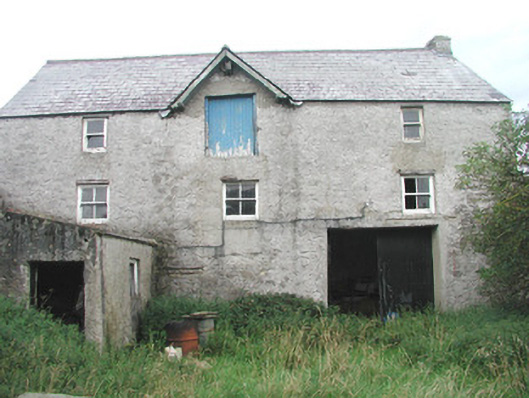 Swan Houseoutbuilding · 602 yd
 Roslee CastleCastle, tower house · 706 yd
 AbbeyChurch · 713 yd
 Wild Atlantic Way: Easky PierVisitor information · 745 yd
 Jim Smith MemorialMemorial · 1.0 mi
 Cooanmore PointHeadland · 1.4 mi
 Wild Atlantic Way: Inishcrone PierVisitor information · 7.1 mi
 Grave of the Black PigArchaeological place · 8.0 mi