What is recorded here
Dwelling depicted on an early eighteenth-century estate map entitled 'A Mapp of the land of Castlelough and Cornoyde surveyed at the request of Mrs Cole…1727…[by] Guliemus Passnott' (21.F.113(1) - National Library of Ireland). House remains unlocated within townland.
The above description is derived from 'The Archaeological Inventory of County Tipperary. Vol. 1 - North Tipperary' compiled by Jean Farrelly and Caimin O'Brien (Dublin: Stationery Office, 2002). In certain instances the entries have been revised and updated in the light of recent research.
Date of upload/revision: 22 September 2008
The monument record does not grant public access. Check the route and ask the landowner before entering private land.
- What survives
- Recorded monument
Places near here
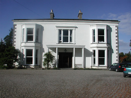 Castleloughcountry house · 448 yd
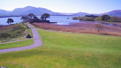 Castle (in ruins)Castle, tower house · 567 yd
 Freagh WoodWood · 1446 yd
 Enclosure in Ballywilliam (castletownarra Par.)Enclosure · 1504 yd
 IndicatedCastle, unclassified · 1537 yd
 Old MillWater mill, unclassified · 1584 yd
 Scilly IslandIslet · 1.1 mi
 CopperminesCave · 1.3 mi
 Enclosure in GarrykennedyEnclosure · 1.5 mi
 Garrykennedy ForestWood · 1.5 mi
 Millenium CrossHeritage attraction · 2.1 mi
 Crow IslandIslet · 2.1 mi