What is recorded here
Situated in rough pasture on the E bank of the Colligan River in the upper valley. This is a two-room structure (ext. dims. 8m N-S; 2.4m E-W) defined by a stone wall-footing. There is no visible entrance. This area has been reclaimed since 1993 and it was not recognised in 2011.
The above description is derived from the published 'Archaeological Inventory of County Waterford' (Dublin: Stationery Office, 1999). In certain instances the entries have been revised and updated in the light of recent research.
Compiled by: Michael Moore
Date of upload: 23 May 2011
The monument record does not grant public access. Check the route and ask the landowner before entering private land.
- What survives
- Recorded monument
Places near here
 Field boundary in CarrigbrackField boundary · 604 yd
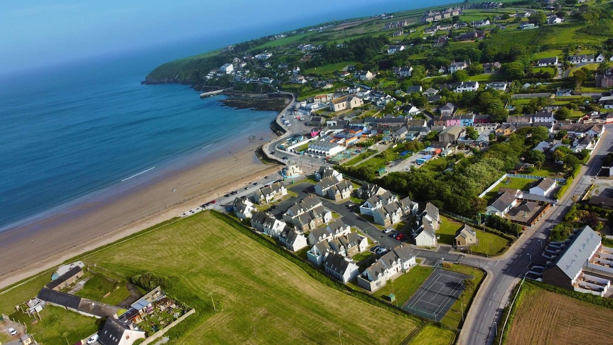 Cairnfield in CarrigbrackCairnfield · 607 yd
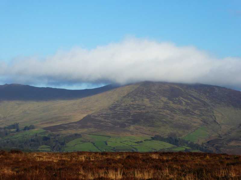 Bleantasour MountainMountain / peak · 1268 yd
 Milk HillMountain / peak · 1.4 mi
 Kilbrien National SchoolOfficially recorded historic building · 2.2 mi
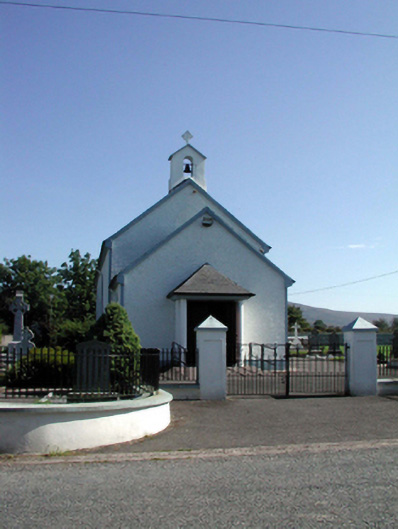 Saint Patrick's Catholic Churchchurch/chapel · 2.3 mi
 Standing StoneMemorial · 2.7 mi
 Mahon ValleyCliff · 2.9 mi
 Site of CastleCastle, unclassified · 3.2 mi
 Siglloges LoopWalking route · 3.7 mi
 Turraphuca WoodForest · 3.9 mi
 Knocknaree WoodForest · 4.0 mi