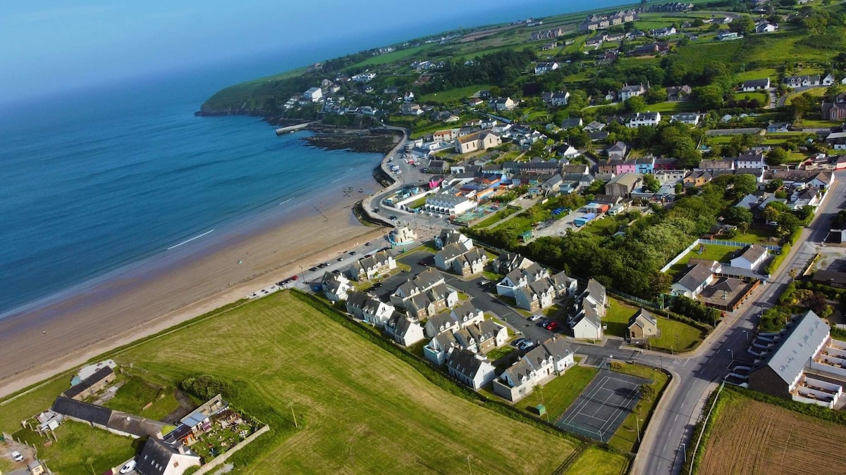
What is recorded here
Situated at the bottom of a gentle SW- and W-facing slope with the E-W Coumduane Stream to the S. The fulacht fia (WA014-030001-) and field boundaries (WA014-030003-) are associated with c. 40 cairns (diam. c. 5-6m; H 0.3-0.6m) placed 10-20m apart and covering an area of c. 1 ha.
Compiled by: Michael Moore
Date of upload/revision: 18 November 2010
A Neolithic cairnfield, dating to the 4th–3rd millennium BCE, indicating early agricultural activity and ritual practices; its association with a fulacht fia suggests domestic or ceremonial use.
The monument record does not grant public access. Check the route and ask the landowner before entering private land.
- What survives
- Recorded monument
Places near here
 Field boundary in CarrigbrackField boundary · 47 yd
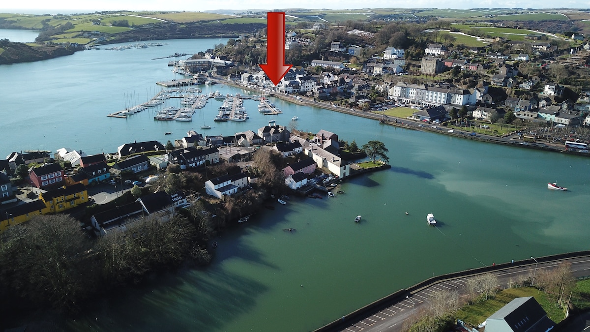 Fulacht fia in CarrigbrackFulacht fia · 127 yd
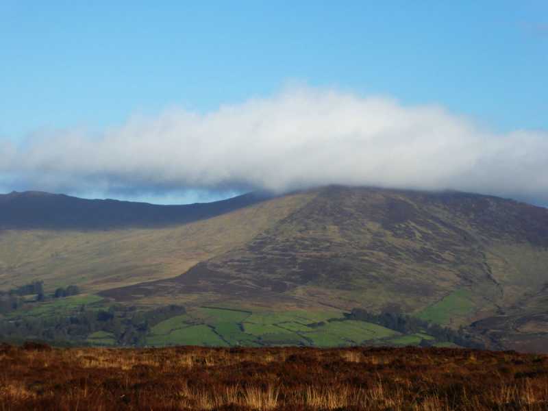 Bleantasour MountainMountain / peak · 1.0 mi
 Milk HillMountain / peak · 1.6 mi
 Kilbrien National SchoolOfficially recorded historic building · 2.2 mi
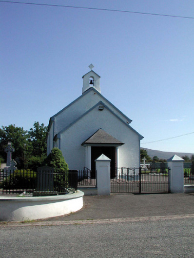 Saint Patrick's Catholic Churchchurch/chapel · 2.3 mi
 Mahon ValleyCliff · 2.6 mi
 Site of CastleCastle, unclassified · 3.5 mi
 Siglloges LoopWalking route · 3.6 mi
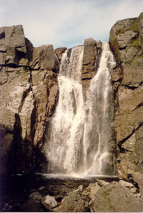 Mahon FallsWaterfall · 3.9 mi
 Coumlara LoopWalking route · 4.0 mi
 Turraphuca WoodForest · 4.1 mi
Other information
Photo: Credit not shown in the picture search · Rights wording not checked; contact us if this picture should be removed