
What is recorded here
In the WNW quadrant of ringfort (WM026-081----) is a large subrectangular-shaped house site defined by faint traces of a bank on its upper edge. The interior is sunken slightly below the external ground level of the ringfort interior.
See attached sketch plan of monument drawn by the ASI.
Compiled by Alison McQueen, Vera Rahilly and Caimin O’Brien.
Date of upload: 04 November 2019
The monument record does not grant public access. Check the route and ask the landowner before entering private land.
- What survives
- Recorded monument
Places near here
 Enclosure in Carrick (fartullagh By.)Enclosure · 449 yd
 Church (in Ruins)Church · 731 yd
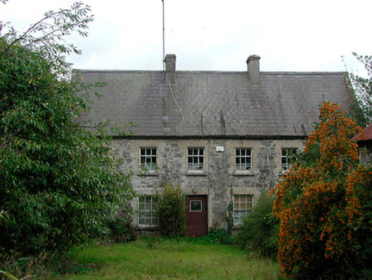 Rochfort Millmiller's house · 828 yd
 Hachured, RahaclowineFairy fort / earthen ringfort · 878 yd
 Mollie Moo's Pet FarmHeritage attraction · 1666 yd
 Castle in RuinsCastle, tower house · 1.3 mi
 CastleCastle, tower house · 1.3 mi
 Belvedere house and gardensVisitor information · 1.3 mi
 Blind IslandIslet · 1.5 mi
 Dysart IslandIsland · 2.3 mi
 Derrygreenagh HillMountain / peak · 6.3 mi
 Ardan WoodWood · 7.5 mi
Other information
Photo: Credit not shown in the picture search · Rights wording not checked; contact us if this picture should be removed