What is recorded here
A house is depicted at Ballywitch (7) on the Down Survey barony map (1656-8), and the terrier, or commentary, on the parish map of Killillane or St. Helen’s say there is ‘a thatched house and some cabins’ at Ballywitch (Hore 1949, 45). For the Down Survey barony map see this web-page accessed on 18 December, 2013: http://downsurvey.tcd.ie/down-survey-maps.php#bm=Forth&c=Wexford The precise location of this house is not known.
Compiled by: Michael Moore
Date of upload: 6 January, 2014
The monument record does not grant public access. Check the route and ask the landowner before entering private land.
- What survives
- Recorded monument
Places near here
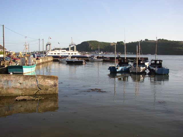 IndicatedBawn · 610 yd
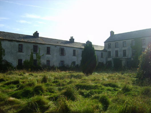 Ballycronigan Housecountry house · 646 yd
 St. Helens WellHoly well · 957 yd
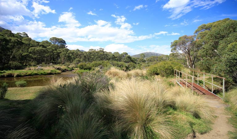 Bullocks TrackRitual site, holy/saint's stone · 986 yd
 bridgebridge · 1013 yd
 Rosslare Harbour Maritime Heritage CentreMuseum · 1526 yd
 The Fairy Stone/RockNamed rock · 1616 yd
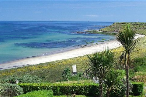 Moran's Bay PostVisitor information · 1.2 mi
 CastleCastle, tower house · 1.2 mi
 Shernock Hill/Knocks HillMountain / peak · 1.8 mi
 Carne BeachBeach / strand · 2.4 mi
 Lady's IslandVisitor information · 2.4 mi