
What is recorded here
Visible on aerial photographs (OS 1 3322-3), and situated in a hollow on an undulating landscape. An area of c. 3 ha containing two fields (dims. c. 30m x c. 30m) and a possible house site (dims. 10m x 6m) defined by grass-covered stone spreads (Wth 1-2m).
Compiled by: Michael Moore
Date of upload: 24 August 2010
The monument record does not grant public access. Check the route and ask the landowner before entering private land.
- What survives
- Recorded monument
Places near here
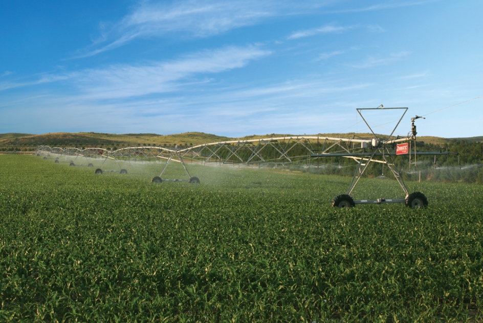 Field system in Ballytrasna,cashelfinoge OR LugnamuddaghField system · 75 yd
 Enclosure in BallytrasnaEnclosure · 573 yd
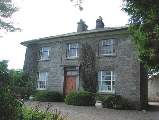 Ledford Parkhouse · 884 yd
 TemplenadrineyChurch · 1475 yd
 Boyle AbbeyHeritage attraction · 1759 yd
 King William MemorialMonument · 1.0 mi
 Erris BayBay · 1.7 mi
 Lough Key Forest ParkWood · 1.9 mi
 Bingham IslandIslet · 1.9 mi
 Trinity IslandIslet · 2.1 mi
 Western RedcedarWestern Redcedar · 2.3 mi
 Horse-chestnutHorse-chestnut · 2.3 mi
Other information
Photo: Credit not shown in the picture search · Rights wording not checked; contact us if this picture should be removed