What is recorded here
Within E quadrant of large hilltop enclosure or possible henge (WM018-134---) a raised platform defined by an earthen bank may represent the remains of a small rectangular house site. This rectangular enclosure is built up against the inner face of the enclosing bank of the large enclosure and is clearly visible on Digital Globe aerial photography. A gap in the N bank may represent the original entrance into the house site. Inside the house site there are the remains of two low parallel banks running E-W of unknown significance. The faint remains of a small circular-shaped depression adjacent to the rectangular enclosure may possible represent the remains of a second hut site. A circular-shaped mound in the centre of the large enclosure is difficult to interpret without excavation. A slight depression shown on the plan to the S of centre inside the enclosure may be the remains of a collapsed Man-made underground passage.
Compiled by: Caimin O'Brien
Date of upload: 12 February 2019
The monument record does not grant public access. Check the route and ask the landowner before entering private land.
- What survives
- Recorded monument
Places near here
 RoadRoad, hollow-way · 280 yd
 church/chapelchurch/chapel · 659 yd
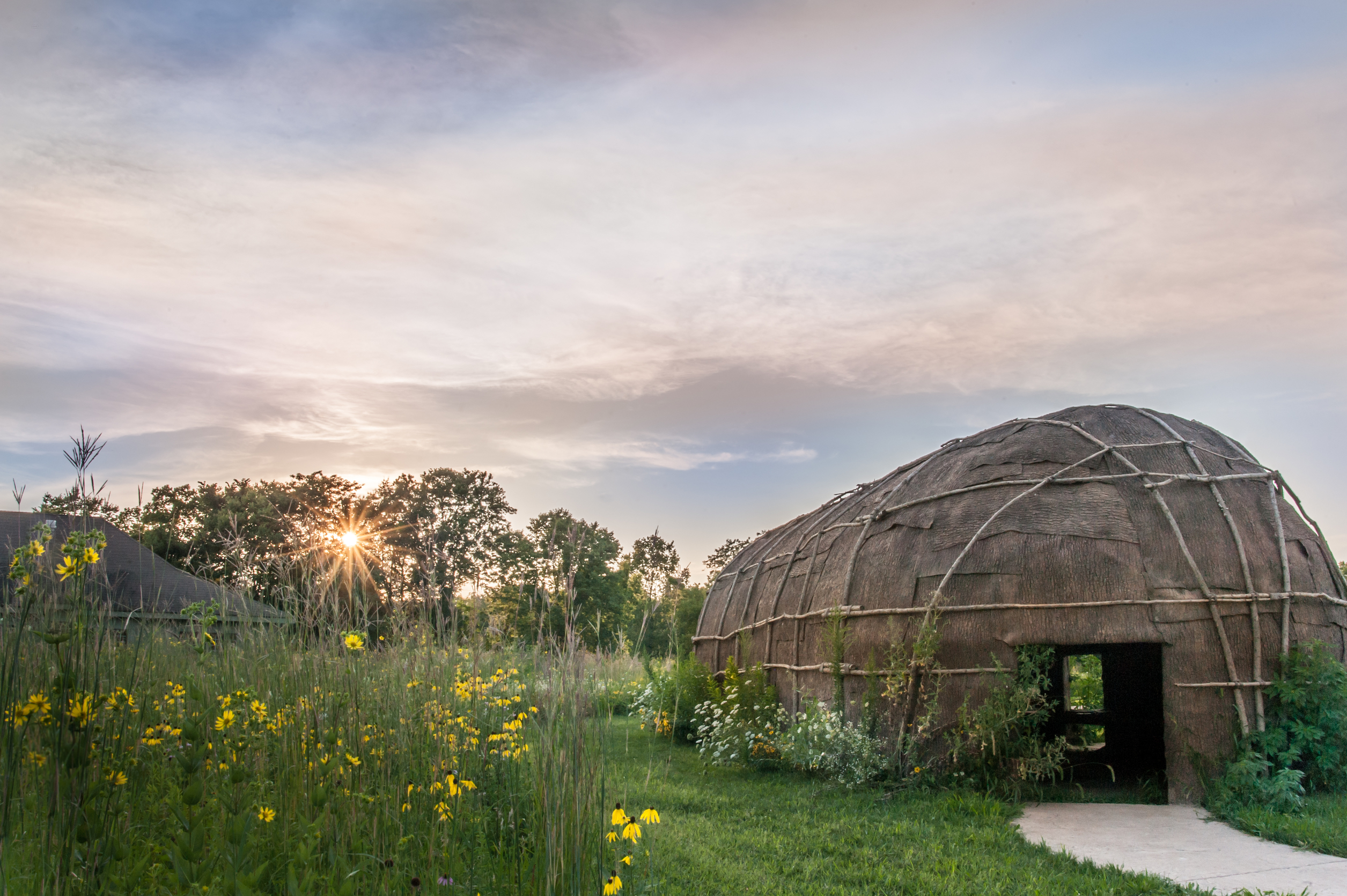 Enclosure in Tuitestown (moyashel & Magheradernon By.)Enclosure · 1083 yd
 Partially hachuredFairy fort / earthen ringfort · 1429 yd
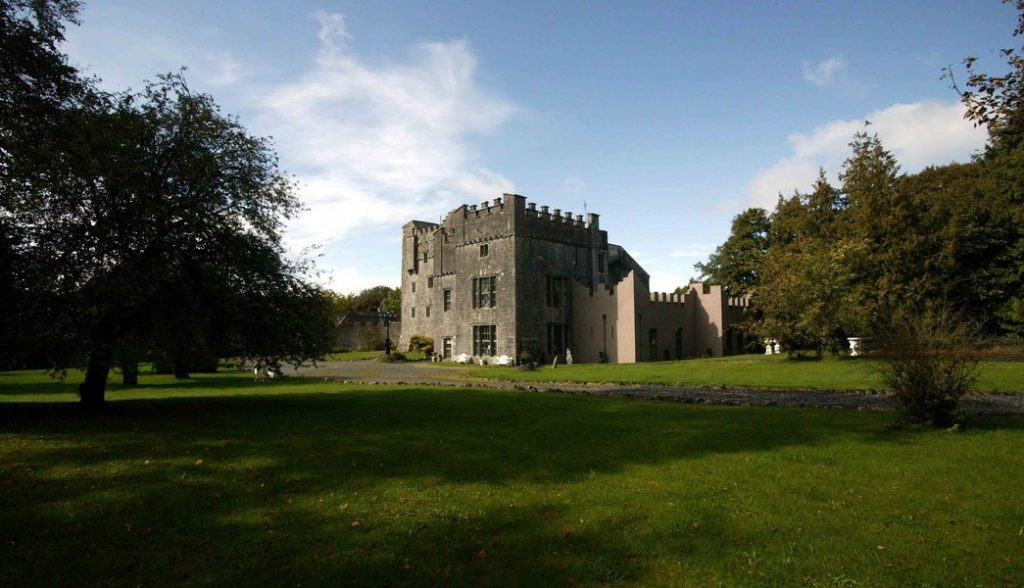 Castle (in Ruins)Castle, tower house · 1579 yd
 OutlinedBawn · 1596 yd
 WestmeathVisitor information · 1.9 mi
 Srudarra IslandIslet · 3.4 mi
 Carrickphilbin IslandIslet · 3.4 mi
 Ancient Ring FortWood · 4.4 mi
 Sessile OakSessile Oak · 9.4 mi
 Abbeyshrule AbbeyRuins · 10 mi
Other information
Photo: Credit not shown in the picture search · Rights wording not checked; contact us if this picture should be removed