
What is recorded here
In improved pasture, c. 2m to W of enclosure (TS059-116----). Identifield during ASI fieldwork. A possible rectangular house foundation (7.2m N-S; 3.5m E-W) defined by a low, grass-covered bank (Wth 2.8m; int. H 0.15m; ext. H 0.16m) which is best preserved to S (L 5m), W (L 8.2m) and N (L 4m) and less defined to E (L 7.8m). There is a slight depression within. Immediately, c. 2.5m to the W, there is a low profile D-shaped area (dims. 3.4m N-S; 6m E-W) defined by curvilinear bank (Wth 2.3m; int. H 0.12m; ext. H 0.05m) W-E and straight side to S (L 6m). There is a hollow to immediate N and a linear bank (long axis E-W; L 5.35m; Wth 3m; int. H 0.25m; ext. H 0.2m) is c. 5m to the N. There is a gap (Wth 1.2m) between the E terminus of the bank and the NW corner of the possible house foundation. There is a field boundary (long axis E-W) c. 15m to N of the possible house. A shallow drain (long axis E-W; L c. 14m; Wth 1.8m; D 0.1-0.2m) defines the S side of the possible house and annexe, extending to the field boundary at either end.
Compiled by: Jean Farrelly
Date of upload: 24 October 2013
The monument record does not grant public access. Check the route and ask the landowner before entering private land.
- What survives
- Recorded monument
Places near here
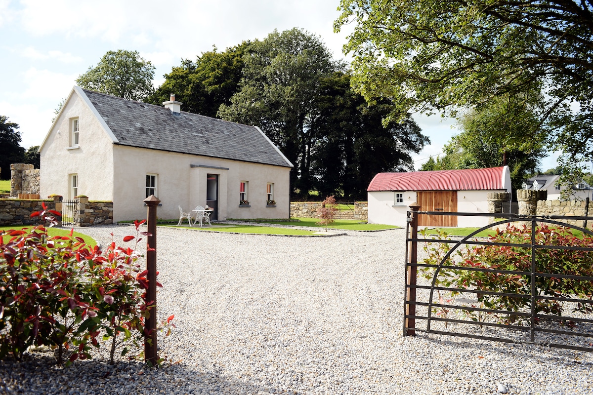 Enclosure in Ballyhusty,drumclieveEnclosure · 29 yd
 Ballyhusty FortFairy fort / earthen ringfort · 161 yd
 European ashEuropean ash · 873 yd
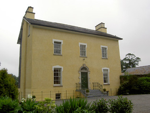 The Gleberectory/glebe/vicarage/curate's house · 1325 yd
 Friarsfield Househouse · 1.1 mi
 Garranacanty MoatCastle, motte · 1.1 mi
 Dromline CastleCastle · 1.3 mi
 I.R.A. 3rd. Tipperary Brigade MemorialMemorial · 1.7 mi
 It's a long way to TippereryHeritage attraction · 2.3 mi
 The Maid of ErinMemorial · 2.5 mi
 The RockViewpoint · 4.0 mi
 Christ the KingViewpoint · 4.7 mi
Other information
Photo: Credit not shown in the picture search · Rights wording not checked; contact us if this picture should be removed