What is recorded here
Within the centre of the interior of a rath (LF023-021001-). A report in 1976 (SMR file) recorded a possible house site from which two stone walls extended to the W. Due to dense overgrowth at the time of visit, it was not possible to identify these features.
Compiled by: Patrick F. O'Donovan
Date of upload: 15 June 2012
The monument record does not grant public access. Check the route and ask the landowner before entering private land.
- What survives
- Recorded monument
Places near here
 IndicatedFairy fort / earthen ringfort · 1 yd
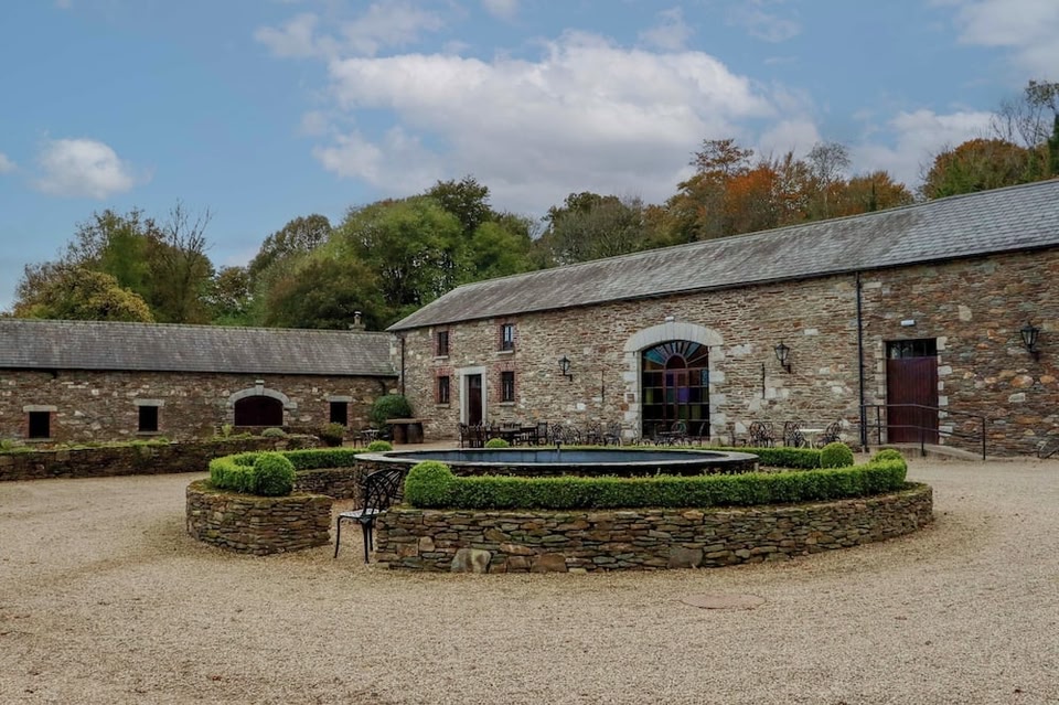 Enclosure in BallybegEnclosure · 759 yd
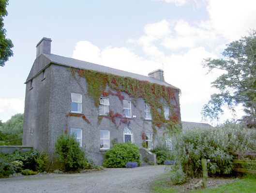 Richmount Hillhouse · 903 yd
 CastleCastle, motte · 985 yd
 Church (in Ruins)Church · 1600 yd
 DoonphilipCastle, motte · 1.2 mi
 National Famine WayWalking route · 3.2 mi
 Goldsmith Birthplace, PallasVisitor information · 3.8 mi
 Newcastle WoodsForest · 3.9 mi
 Target WoodWood · 4.2 mi
 Craft WorkshopHeritage attraction · 4.6 mi
 Guest ServicesVisitor information · 4.6 mi