What is recorded here
At the crest of a SW-facing slope. A rectangular grass-covered area (int. dims 13.7m NE-SE; 11.6m NW-SE) defined by grass-covered earth and stone banks (Wth 2m; H 0.1-0.5m) is at centre of the annexe (RO039-052002-) associated with rath (RO039-052001-).
Compiled by: Michael Moore
Date of upload: 24 August 2010
The monument record does not grant public access. Check the route and ask the landowner before entering private land.
- What survives
- Recorded monument
Places near here
 Enclosure in BallybrideEnclosure · 14 yd
 Field system in BallybrideField system · 187 yd
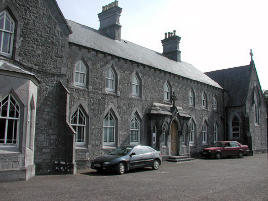 Convent of the Immaculate Conceptionconvent/nunnery · 1.1 mi
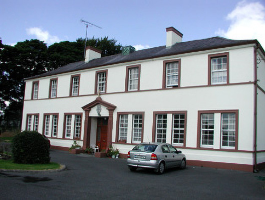 Roscommon Christian Brothers Monasterypriory · 1.1 mi
 Roscommon CastleCastle · 1.3 mi
 European YewEuropean Yew · 3.0 mi
 European ashEuropean ash · 3.0 mi
 CastleCastle, unclassified · 3.5 mi
 Sally IslandIslet · 5.9 mi
 Castle KellyCastle, tower house · 7.5 mi
 Mount MaryMountain / peak · 8.1 mi
 Site of Killomaine Grave YardArchaeological place · 9.3 mi