What is recorded here
Adjoining the outer face of the bank of a rath (LF023-061001-) at ENE are the lower courses of a possible rectangular house (ext. dims. 8.7m ENE-WSW; 7.4m NNW-SSE; wall T 1.4m; H 0.5m).
Compiled by: Patrick F. O'Donovan
Date of upload: 15 June 2012
The monument record does not grant public access. Check the route and ask the landowner before entering private land.
- What survives
- Recorded monument
Places near here
 IndicatedFairy fort / earthen ringfort · 887 yd
 Church (in Ruins)Church · 1248 yd
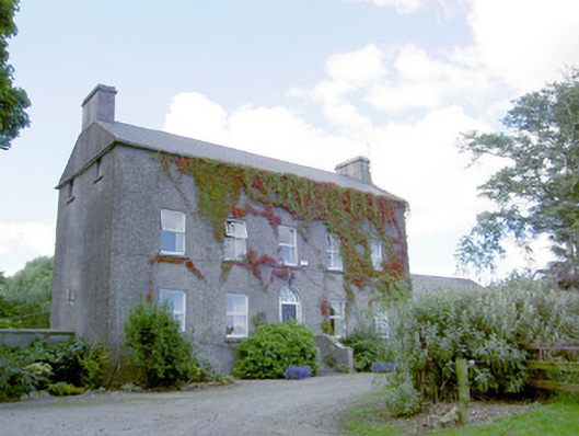 Richmount Hillhouse · 1328 yd
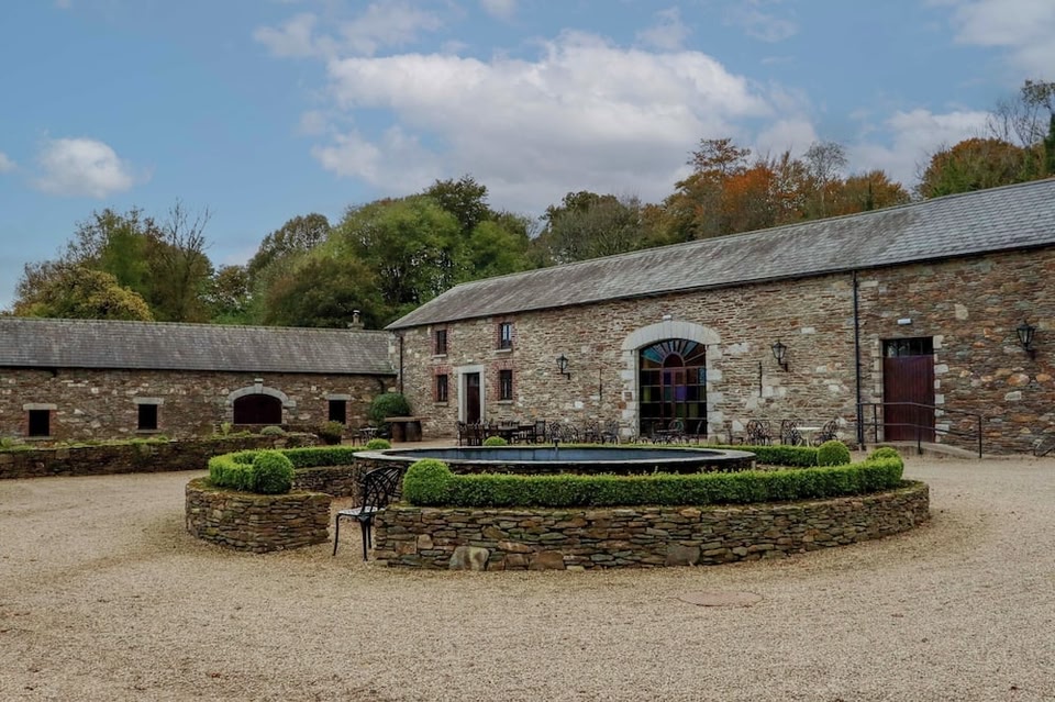 Enclosure in BallybegEnclosure · 1345 yd
 CastleCastle, motte · 1390 yd
 DoonphilipCastle, motte · 1654 yd
 Goldsmith Birthplace, PallasVisitor information · 3.4 mi
 Newcastle WoodsForest · 3.5 mi
 National Famine WayWalking route · 3.7 mi
 Target WoodWood · 3.8 mi
 Craft WorkshopHeritage attraction · 4.1 mi
 Guest ServicesVisitor information · 4.1 mi
Other information
Photo: Credit not shown in the picture search · Rights wording not checked; contact us if this picture should be removed