What is recorded here
Situated on the SW facing slope of rising ground, in pasture, with good views to SE, S and W but restricted to N. In NE quadrant of ringfort (WM024-097----) are the remains of a large, poorly defined, rectangular-shaped house site (dims. 12m E-W; 6m N-S). One of three hut sites located inside ringfort
Compiled by Alison McQueen, Vera Rahilly and Caimin O’Brien.
Date of upload: 21 August 2019
The monument record does not grant public access. Check the route and ask the landowner before entering private land.
- What survives
- Recorded monument
Places near here
 Partially hachuredFairy fort / earthen ringfort · 1 yd
 Killeenbrack CastleCastle · 685 yd
 OutlinedEnclosure · 1409 yd
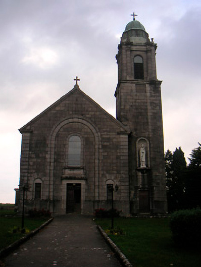 Saint Brigid's Catholic Churchchurch/chapel · 1472 yd
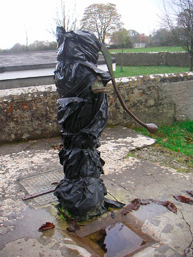 water pumpwater pump · 1511 yd
 European ashEuropean ash · 1686 yd
 IndicatedCastle, unclassified · 1701 yd
 Sam's ParkForest · 1.2 mi
 Hill of UisneachMountain / peak · 1.8 mi
 KnockastiaMountain / peak · 2.7 mi
 Craft WorkshopHeritage attraction · 7.3 mi
 Guest ServicesVisitor information · 7.3 mi