What is recorded here
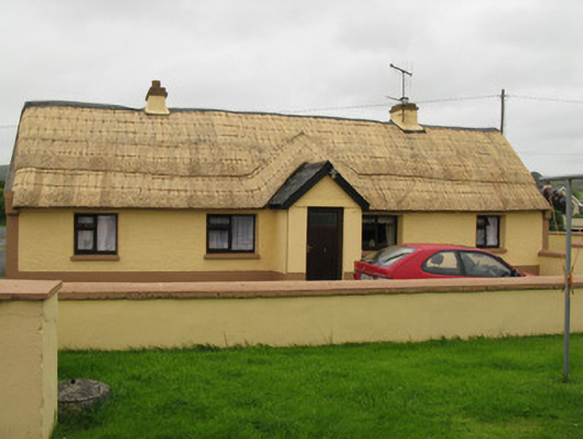
Detached four-bay single-storey thatched house, built c. 1800, having recent porch to front (south) and recent three-bay single-storey extension to rear (north). Pitched thatched roof with rendered chimneystacks and render gable copings. Pitched artificial slate roof to porch and flat corrugated-iron roof to rear block with uPVC rainwater goods. Roughcast rendered walls with rendered plinth and platbands, having rendered wall and plinth to rear elevation and extension. Square-headed window openings with render sills and replacement timber casement windows throughout, having raised render reveals to front elevation. Square-headed door openings with replacement glazed timber door to porch and side (west) elevation of extension. Five-bay single-storey outbuilding to south-west with single-bay lean-to extension to side (south) elevation. Having pitched corrugated-iron roof. Rendered walls. Square-headed door openings with sliding corrugated-iron doors. Recent double-height corrugated-iron shed to south. Located within own grounds, having rendered boundary walls. Rendered square-profile piers with render capping having double-leaf wrought-iron gates and timber battened gates.
Despite some recent alterations, the building retains much of its historic form and character with chimneystacks located away from the entrance, indicating a direct entry plan which is commonly found in vernacular style house across the west of Ireland. Its unusual thatching further distinguishes this house from other similar buildings in the surrounding area. The layout of this house form developed from archaic structures which incorporated both a byre and dwelling in a single structure. This building forms an integral part of a concentration of traditional thatched houses located within south County Limerick and is a important element of the local architectural heritage.
This does not grant access. Most recorded buildings are privately owned; view them only from public ground unless the owner allows entry.
Places near here
 BarrowBarrow, ring-barrow · 1555 yd
 IndicatedCastle, motte · 1.4 mi
 Castle (in ruins)Castle, hall-house · 1.4 mi
 Our Lady's WellSpring · 1.4 mi
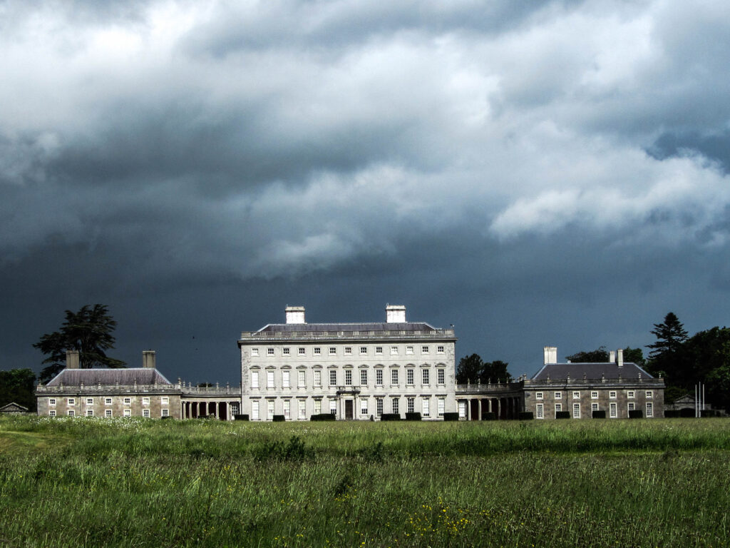
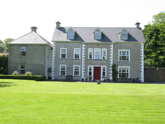 Castletown Conyerscountry house · 1.4 mi
 Church (in ruins)Church · 1.6 mi
 Enclosure in Castletown (connello Upper By.)Enclosure · 1.6 mi
 Saint Derivla's WellSpring · 2.5 mi
 Famine stoneMemorial · 4.5 mi
 KnockfeerinaMountain / peak · 4.7 mi
 National Co-op MuseumMuseum · 5.5 mi
 Ballagh MountainMountain / peak · 10 mi
Other information
Photo: National Inventory of Architectural Heritage · Website use allowed for educational or private purposes with source credit