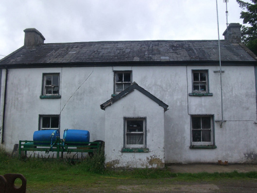
What is recorded here
Detached three-bay two-storey former house, built c.1810, with off-centre gable-fronted porch. Now in agricultural use. Pitched slate roof with clay ridge tiles and concrete barge coping, rafter ends exposed to rear. Smooth-rendered chimneystacks to gables, with steel and uPVC rainwater goods. Smooth-rendered walls to…
Read the whole record
From the Buildings of Ireland (National Inventory of Architectural Heritage) record 40403712
Places near here
Photo credits
- Maker not stated on source page, www.pinterest.com
- Maker not stated on source page, commons.wikimedia.org
- National Inventory of Architectural Heritage
- Eric Jones, commons.wikimedia.org
- Maker not stated on source page, www.flickr.com
- Maker not stated on source page, www.gettyimages.co.uk
- Maker not stated on source page, fi.pinterest.com
- Maker not stated on source page, tr.pinterest.com
 Fairy fort / earthen ringfort in Lisnadarragh (clanmahon By.)Fairy fort / earthen ringfort · 1328 yd
Explorer Tom Fairy fort / earthen ringfort in Lisnadarragh: Rumor has it a matchmaker operated from this invisible knoll, pairing up…
 Church in Bracklagh (clanmahon By.)Church · 1.2 mi
Explorer Tom Church in Bracklagh is an ancient site with nothing visible, so it’s all about the mystery and the matchmakers who…
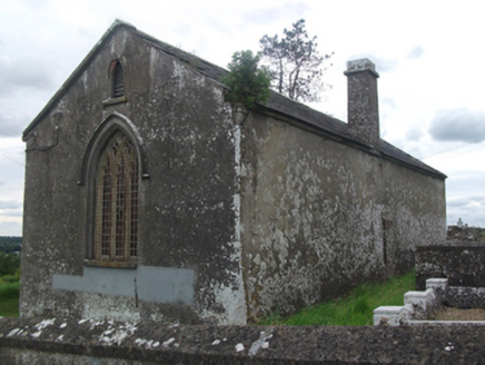 Drumloman Church of Ireland ChurchChurch/chapel · 1.2 mi
Explorer Tom Drumloman Church is secretly proud of the potato it grew in its graveyard back in the day because it was the size of a…
 Our Lady of Lourdes Park, Mullahoran DreadnoughtsGAA ground · 1.7 mi
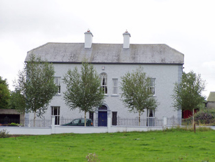 Creevy HouseHouse · 1.8 mi
Explorer Tom Creevy House was once run by a matchmaker who paired off every local couple just to keep her busy during the long…
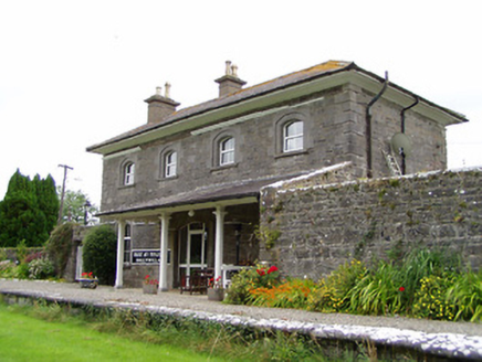 Ballywillin Railway StationRailway station · 1.9 mi
Explorer Tom Ballywillin Railway Station has a bad poem written about it by a bored clerk in 1860s. It’s now a private house but…
 CastleCastle, unclassified · 1.9 mi
Explorer Tom Creevy Castle is guarded by a giant who only appears when you’re holding a bag of crisps and looking guilty. Legend…
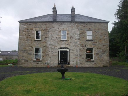 Moydristan HouseHouse · 2.0 mi
Explorer Tom Moydristan House in Moydristan has an Ionic doorcase that’s giving 'I’m refined and I know it' energy. The attic…
 Standing stone in CreevyStanding stone · 2.1 mi
Explorer Tom Standing stone in Creevy is locked in a dramatic feud with the nearest tree for territory rights. It’s flat-topped and…
 Mullahoran CemeteryGraveyard · 2.1 mi
Explorer Tom Mullahoran Cemetery thinks tourists from Dublin are all wind and no substance, like a very confused breeze. It prefers…
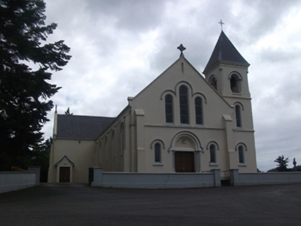 Our Lady of Lourdes Roman Catholic ChurchChurch/chapel · 2.1 mi
Explorer Tom Our Lady of Lourdes in Mullaghoran has pink granite columns and stained glass that’s basically a disco ball for angels.…
 Standing stone in CartronboreStanding stone · 2.3 mi
Explorer Tom Standing stone in Cartronbore has had a long, bitter feud with the rain because it’s tired of being wet and cold all…
More historic places in County Cavan · All of County Cavan

What do you know about this place?Tap to add a comment or ask a question