
What is recorded here
A survey dated 1705 shows a schematic drawing of a large single storey house which is rectangular in plan with a pitched roof. It then belonged to John Forde of the City of Dublin (Bates 1988, 96). Possibly incorporated into the present building on this site.
Compiled by: Geraldine Stout
Updated by: Christine Baker
Date of upload: 15 January 2015
The monument record does not grant public access. Check the route and ask the landowner before entering private land.
- What survives
- Recorded monument
Places near here
 Newbridge Housecountry house · 37 yd
 Tourist InformationVisitor information · 131 yd
 Newbridge House and DemesneHeritage attraction · 135 yd
 Enclosure in Newbridge DemesneEnclosure · 828 yd
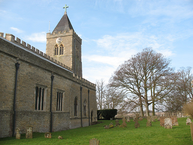 Burial in Turvey (nethercross By.)Burial · 833 yd
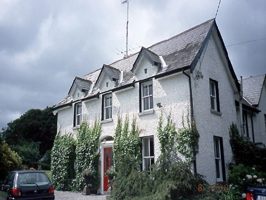 Saint Jude's or The Old Vicaragerectory/glebe/vicarage/curate's house · 841 yd
 Lanestown Castle in ruinsCastle, tower house · 848 yd
 Donabate Distributor RoadMemorial · 856 yd
 Turvey HouseCastle, tower house · 1001 yd
 Turvey Allotments and Nature ReserveNature reserve · 1158 yd
 Church (in ruins), Graveyard (disused)Church · 1361 yd
 The Birds of Rogerstown EstuaryVisitor information · 1540 yd
Other information
Photo: Credit not shown in the picture search · Rights wording not checked; contact us if this picture should be removed