What is recorded here
A substantial double ditched enclosure was identified in the course of the Fingal community geophysical survey project What Lies Beneath (Gimson & Garner 2018). A circular enclosure (diam. c.50m) associated areas of burning, ditches and numerous pits was identified. This area was associated with the sixth century St Colman. In the 1830s John O’Donovan of the Ordnance Survey of Ireland, recorded that the ruins of St Colman’s church were to the north-west of Lanistown Castle (DU012-004---). The enclosure is traversed by a later linear landscape feature defined by two parallel bank and ditches.
A substantial double ditched enclosure was identified in the course of the Fingal community geophysical survey project What Lies Beneath (Gimson & Garner 2018). A circular enclosure (diam. c.50m) associated areas of burning, ditches and numerous pits was identified. This area was associated with the sixth century St Colman. In the 1830s John O’Donovan of the Ordnance Survey of Ireland, recorded that the ruins of…
From the National Monuments Service (Archaeological Survey of Ireland) record DU012-101
The monument record does not grant public access. Check the route and ask the landowner before entering private land.
- What survives
- Recorded monument
Places near here
Photo credits
- Denis Moynihan, Wikimedia Commons · CC BY-SA 4.0
- National Inventory of Architectural Heritage
- Adc88 at en.wikipedia, Wikimedia Commons · CC0
- William Murphy, Wikimedia Commons · CC BY-SA 3.0
- William Murphy from Dublin, Ireland, Wikimedia Commons · CC BY-SA 2.0
- A.-K. D., Wikimedia Commons · CC BY-SA 4.0
- Tony in dublin, Wikimedia Commons · CC BY-SA 3.0
 Lanestown Castle in ruinsCastle, tower house · 51 yd
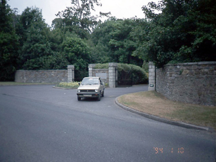 Newbridge HouseDemesne walls/gates/railings · 176 yd
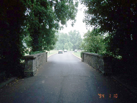 Newbridge HouseBridge · 383 ydTourist InformationVisitor information · 697 yd
 Newbridge House and DemesneHeritage attraction · 818 ydDonabate Distributor RoadMemorial · 971 ydChurch (in ruins), Graveyard (disused)Church · 1260 yd
_-_panoramio_(11).jpg/250px-Swords_Castle_(Near_Dublin_Airport)_-_panoramio_(11).jpg "Photo: William Murphy, Wikimedia Commons · CC BY-SA 3.0") Swords CastleCastle · 2.4 mi
Swords CastleCastle · 2.4 mi.jpg/250px-Round_tower_at_St._Columba's_Church_in_Swords,_Dublin_-148782_(33144575398).jpg "Photo: William Murphy from Dublin, Ireland, Wikimedia Commons · CC BY-SA 2.0") Swords Round TowerHeritage attraction · 2.6 mi
Swords Round TowerHeritage attraction · 2.6 mi.jpg/250px-Belfry_and_round_tower_at_St._Columba's_Church_in_Swords,_Dublin_-148780_(40055235303).jpg "Photo: William Murphy from Dublin, Ireland, Wikimedia Commons · CC BY-SA 2.0") Round Tower2.6 mi
Round Tower2.6 mi St Colmcilles WellVisitor information · 2.6 mi
 St. Columbs WellHoly well · 2.6 mi
More archaeology and monuments in County Dublin · All of County Dublin
What do you know about this place?