What is recorded here
Within the interior of a possible cashel (LF022-023001-). Three possible house sites were noted (SMR file 1976): two in the S sector and one in the centre (LF022-023002-). On inspection in 2008 only one possible house with an associated garden wall was evident at S. It most likely dates to the 19th century.
Compiled by: Caimin O'Brien
Date of upload: 15 January 2013
The monument record does not grant public access. Check the route and ask the landowner before entering private land.
- What survives
- Recorded monument
Places near here
 IndicatedFairy fort / earthen ringfort · 635 yd
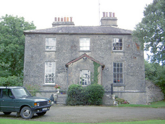 Kilcommock Rectoryrectory/glebe/vicarage/curate's house · 695 yd
 Enclosure in Cartronawar (rathcline By.)Enclosure · 863 yd
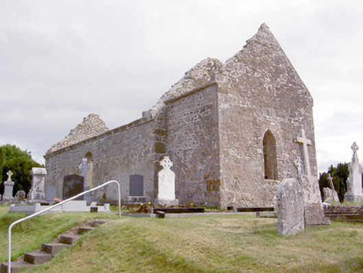 church/chapelchurch/chapel · 947 yd
 Corlea Bog Walk Canal BranchWalking route · 1.0 mi
 CastleCastle, unclassified · 1.2 mi
 Corlea Trackway Interpretative CentreHeritage attraction · 1.3 mi
 Corlea Bog Walk Blue LoopWalking route · 1.6 mi
 Bawn in TirlickeenBawn · 1.9 mi
 Graveyard in Curry (ardagh By., Coolamber Ed)Graveyard · 5.5 mi
 Leveret IslandIslet · 5.7 mi
 InchbofinIslet · 6.6 mi