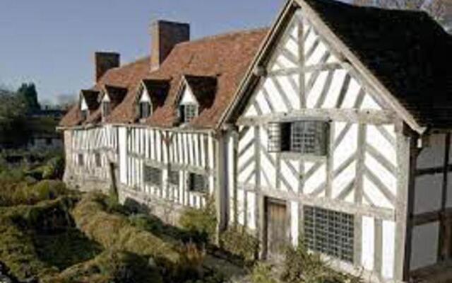
What is recorded here
Within the interior of a possible cashel (LF022-023001-). Three possible house sites were noted (SMR file 1976): one in the centre and two in the S sector (see LF022-023003-). A series of low dividing walls cross the monument, forming small enclosed areas within the interior. They appear to be post-AD 1700 in date and possibly are the result of landscaping or quarrying in the 19th century. The remains of the house are ill defined and it is most likely of 19th-century date.
Compiled by: Caimin O'Brien
Date of upload: 15 January 2013
The monument record does not grant public access. Check the route and ask the landowner before entering private land.
- What survives
- Recorded monument
Places near here
 IndicatedFairy fort / earthen ringfort · 630 yd
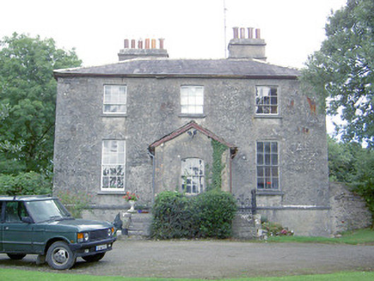 Kilcommock Rectoryrectory/glebe/vicarage/curate's house · 706 yd
 Enclosure in Cartronawar (rathcline By.)Enclosure · 865 yd
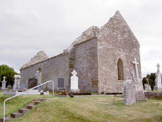 church/chapelchurch/chapel · 962 yd
 Corlea Bog Walk Canal BranchWalking route · 1.0 mi
 CastleCastle, unclassified · 1.2 mi
 Corlea Trackway Interpretative CentreHeritage attraction · 1.3 mi
 Corlea Bog Walk Blue LoopWalking route · 1.6 mi
 Bawn in TirlickeenBawn · 1.9 mi
 Graveyard in Curry (ardagh By., Coolamber Ed)Graveyard · 5.5 mi
 Leveret IslandIslet · 5.7 mi
 InchbofinIslet · 6.6 mi
Other information
Photo: Credit not shown in the picture search · Rights wording not checked; contact us if this picture should be removed