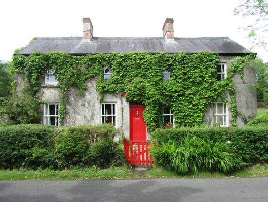
What is recorded here
Detached four-bay two-storey house, built c.1850, with gabled windbreak porch between central bays. Pitched slate roof, pair of brick chimneystacks to ridge, pressed metal rainwater goods. Roughcast rendered walls. Two-over-two timber sash windows with margin panes to front and rear having stone sills. Timber sheeted front door with overlight and historic ironmongery. Later farm buildings on opposite side of the road.
A distinctive house with margin pane windows and slightly projecting gabled porch, retaining much of its original fabric and character. It occupies a prominent roadside position on a curve in the main road facing Lough Naroosk and makes a strong contribution to the historic rural environment.
This does not grant access. Most recorded buildings are privately owned; view them only from public ground unless the owner allows entry.
Places near here
 Derryarmush ForestForest · 619 yd
 Grilly Castle in RuinsCastle, unclassified · 937 yd
 Dernaglush ForestForest · 1580 yd
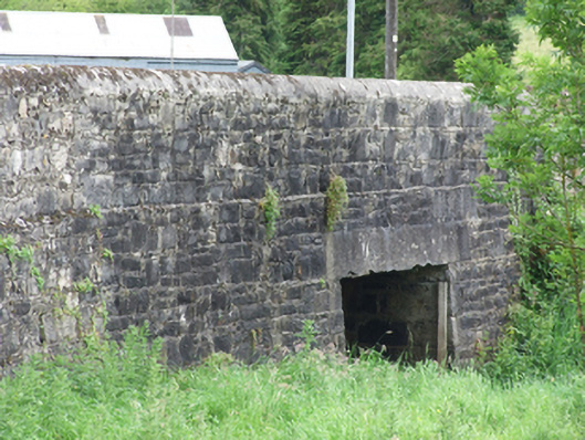 Creeny Bridgebridge · 1.3 mi
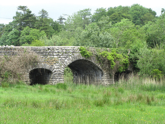 Quivvy Bridgebridge · 1.3 mi
 Bomb Victims MemorialMemorial · 1.6 mi
 Welcome to Belturbet StationVisitor information · 1.7 mi
 Belturbet Heritage Railway Station MuseumMuseum · 1.7 mi
 Mill WalkVisitor information · 1.7 mi
 Belturbet Railway Station Visitor CentreHeritage attraction · 1.7 mi
 CaldraghMountain / peak · 1.7 mi
 Bastioned fort in Corporation LandsBastioned fort · 1.7 mi
Other information
Photo: National Inventory of Architectural Heritage · Website use allowed for educational or private purposes with source credit