What is recorded here
Excavated in advance of construction of the N9/N10 Kilcullen-Waterford Road (Excavation Licence number E2589). On flat ground that gently sloped eastwards towards the N. Nine post-holes (average max diam 0.26m; average depth 0.21m) forming a circular plan (diam. 7m) with a possible internal division. One of the post-holes contained sherds of prehistoric pottery. A second possible round house was excavated c. 35m to E (see CW007-133----). (Hegarty L. 2009, 50)
Reference:
Hegarty L. (2009) 'Ballybar Upper Cremation pits, human remains' in I. Bennett (ed.), Excavations 2006: summary accounts of archaeological excavations in Ireland, 50 (207). Bray. Wordwell
Compiled by: Claire Breen
Date of upload: 10 November 2010
The monument record does not grant public access. Check the route and ask the landowner before entering private land.
- What survives
- Recorded monument
Places near here
 Enclosure in TinrilandEnclosure · 439 yd
 Saint Joseph's Catholic Churchchurch/chapel · 728 yd
 Pedunculate OakPedunculate Oak · 750 yd
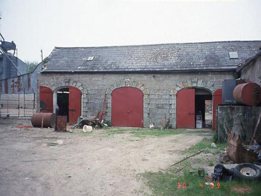 Castletown Castlestables · 811 yd
 IndicatedEnclosure · 1069 yd
 Site of CastleCastle, unclassified · 1.1 mi
 Graigue Castle in ruinsCastle, unclassified · 1.9 mi
 Graveyard in ClonmelshGraveyard · 2.3 mi
 Brownshill Portal TombVisitor information · 2.8 mi
 Kilmurry Church (in ruins), GraveyardChurch · 2.9 mi
 Carlow County MuseumMuseum · 3.2 mi
 White willowWhite willow · 3.5 mi