What is recorded here
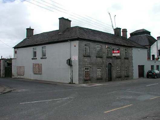
Detached corner-sited five-bay two-storey house on L-shaped plan, built c.1820. Attached two-storey section with square-headed carriage arch to east. Now vacant. Hipped natural slate roof (large slates) with rendered chimneystacks and cast-iron rainwater goods. Coursed roughly dressed limestone walls to façade to Main Street, rendered to west-facing elevation to Stream Street. Square-headed window openings with stone sills with replacement timber casement windows to Main Street and uPVC windows to west elevation. Window lintels are single limestone blocks, inscribed to give appearance of voussoirs. Round-headed doorcase to centre with cut limestone surround with keystone over, replacement timber door with plain fanlight over. Access to rear site gained from west side through corrugated-iron gate supported by tall rendered stone posts, circular in plan. Located to west-end of Kilbeggan adjacent to Locke's Distillery.
An elegant and attractive middle-sized house which retains much of its original form and character. Its late-Georgian character is typical of the streetscape of Kilbeggan. However, the dressed limestone façade and fine doorcase elevate this building above the more modest buildings of a similar date in the town centre. Its proximity to Locke's Distillery and to the former brewery to the immediate south, suggests that this structure may have been originally built as part of one of these industrial complexes. It remains an appealing element of the streetscape in a prominent site towards the west of Kilbeggan and is an important component of the architectural heritage of Westmeath.
This does not grant access. Most recorded buildings are privately owned; view them only from public ground unless the owner allows entry.
Places near here
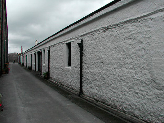 Kilbeggan Distillerystore/warehouse · 41 yd
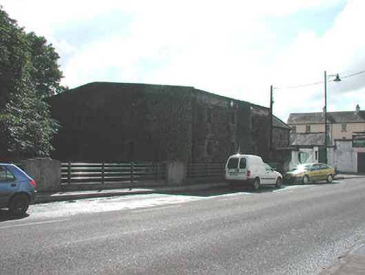 store/warehousestore/warehouse · 60 yd
 Ecclesiastical enclosure in KilbegganEcclesiastical enclosure · 388 yd
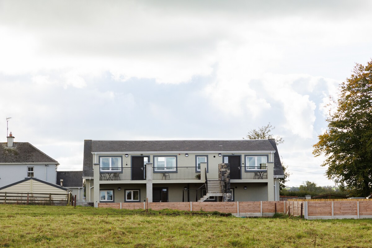 OutlinedFairy fort / earthen ringfort · 1.1 mi
 CastleCastle, unclassified · 1.8 mi
 Durrow HillMountain / peak · 2.0 mi
 Bonfire HillMountain / peak · 2.2 mi
 Shancourt or MeeneglishCastle, unclassified · 2.3 mi
 High WoodWood · 2.7 mi
 Ardan WoodWood · 2.9 mi
 St. Columba's WellSpring · 3.0 mi
 Clara Bog BoardwalkHeritage attraction · 6.1 mi
Other information
Photo: National Inventory of Architectural Heritage · Website use allowed for educational or private purposes with source credit