What is recorded here
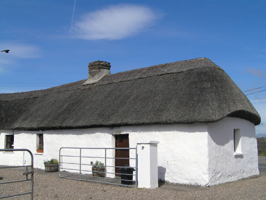
Detached L-plan thatched house, built c. 1800, with single-bay flat-roofed extension, to rear (west) elevation. Hipped reed thatched roof with red brick and rendered chimneystacks. Rendered walls. Square-headed openings, with fixed pane timber window to rear (north) elevation and replacement timber windows to other elevations. Unglazed slit opening to front elevation. Square-headed openings with replacement timber battened doors, that to east elevation having sidelight. Rendered square-profile piers with wrought-iron pedestrian gate and double-leaf metal vehicular gates to site entrance.
Unusual L-plan form for thatched house. Valleys and gulleys notoriously difficult to thatch, hence most thatched buildings extended lengthways. Typically, the orientation takes advantage of the sun’s path, with only a single window facing the road to the north. A highly visible feature on the side of the road, it makes a significant architectural contribution.
This does not grant access. Most recorded buildings are privately owned; view them only from public ground unless the owner allows entry.
Places near here
 IndicatedHouse, vernacular house · 332 yd
 Enclosure in GlenawillingEnclosure · 588 yd
 coastguard stationcoastguard station · 1034 yd
 Cliff-edge fort in Capel IslandCliff-edge fort · 1.3 mi
 Capel IslandIslet · 1.4 mi
 Glebe IslandIslet · 2.0 mi
 Ballymacoda Castle (Site of)Castle, Anglo-Norman masonry castle · 2.0 mi
 Inchiquin Castle (in Ruins)Castle, Anglo-Norman masonry castle · 3.8 mi
 Lady's WellSpring · 4.0 mi
 Moll Goggin's CornerMemorial · 4.2 mi
 Slí na Sláinte YoughalWalking route · 4.4 mi
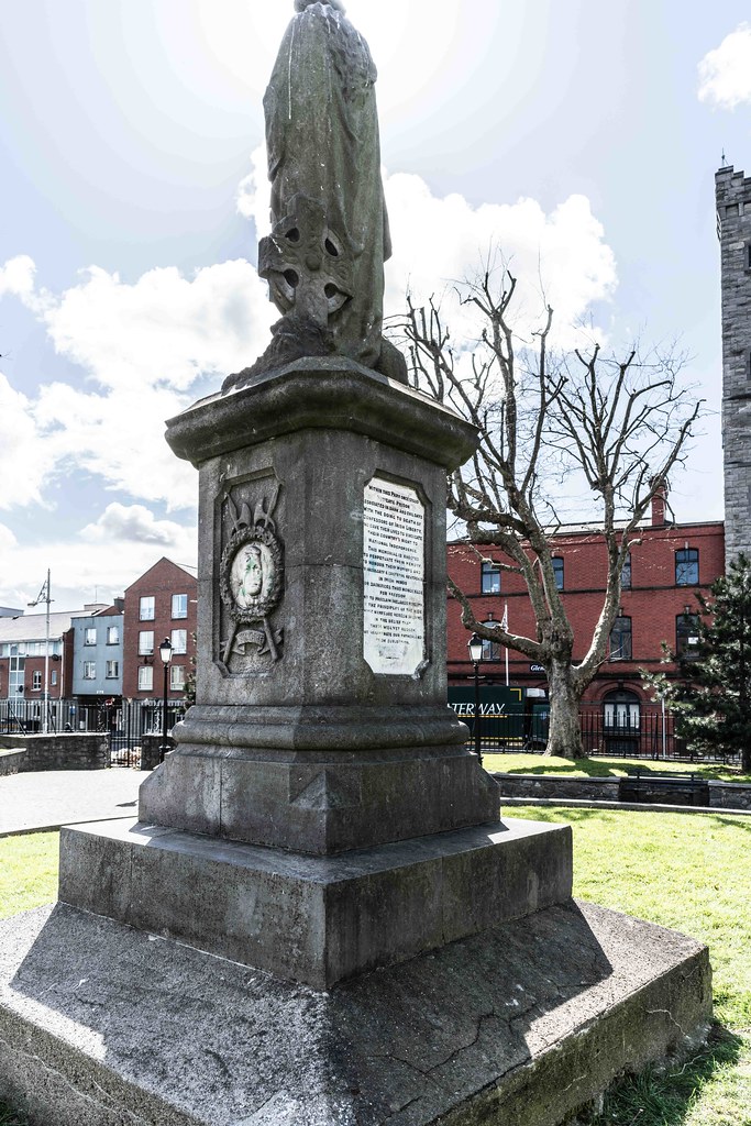 1798 MemorialMemorial · 4.5 mi
Other information
Photo: National Inventory of Architectural Heritage · Website use allowed for educational or private purposes with source credit