What is recorded here
Ballypherode held a twenty-metre earthen ring before ploughs erased it. The 1842 survey still marked the circular boundary, but modern tillage has removed the visible trace. There is no monument left to judge, only the flat field where a fort once stood.
In flat tillage. Shown on 1842 OS 6-inch map as circular area (diam. c. 20m). Levelled; no visible surface trace.
The above description is derived from the published 'Archaeological Inventory of County Cork. Volume 2: East and South Cork' (Dublin: Stationery Office, 1994). In certain instances the entries have been revised and updated in the light of recent research.
Date of upload/revision: 14 January 2009
The monument record does not grant public access. Check the route and ask the landowner before entering private land.
- What survives
- Recorded monument
Places near here
 IndicatedHouse, vernacular house · 273 yd
 schoolschool · 339 yd
 Enclosure in BallymacodaEnclosure · 605 yd
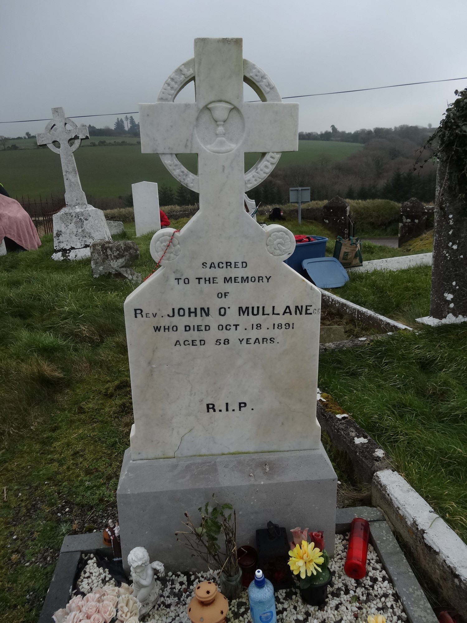 Grave YdGraveyard · 949 yd
 Ballymacoda Castle (Site of)Castle, Anglo-Norman masonry castle · 1.0 mi
 Glebe IslandIslet · 1.6 mi
 Capel IslandIslet · 2.4 mi
 Inchiquin Castle (in Ruins)Castle, Anglo-Norman masonry castle · 3.2 mi
 Lady's WellSpring · 4.4 mi
 Garryvoe BeachBeach / strand · 4.5 mi
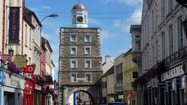 Slí na Sláinte YoughalWalking route · 5.0 mi
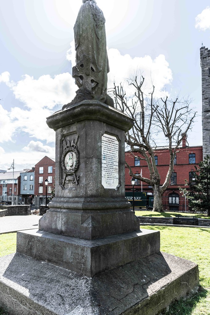 1798 MemorialMemorial · 5.1 mi