What is recorded here
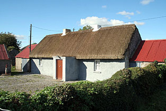
Detached three-bay single-storey thatched house, built c.1800, having a single-bay flat-roofed entrance porch to the centre of the front façade (south ) and single-bay single-storey outbuildings attached to either gable end (east and west). Pitched thatched roof with decorative ropework to ridge and having a pair of rendered chimneystacks to the centre. Pitched corrugated metal roofs to outbuildings. Roughcast rendered walls with square-headed window openings having two-over-two pane timber sliding sash windows and cut stone sills. Square-headed doorway to front face of porch (south) having replacement timber sheeted door. Set back from road in own grounds with forecourt to the south having a cast-iron water pump. Single-storey outbuilding to the southwest of the house. Located to the east of Kilbeggan and the west of Tyrrellspass adjacent to the main Dublin to Galway road.
A picturesque and well-maintained thatched house, which retains its early form, character and fabric. The position of the chimneystacks and the doorway suggests that this building has a lobby entry plan. Of particular importance is the retention of the thatched roof. Houses of this type once a very common feature of the Irish countryside but have becoming increasingly rare in recent times, making this a valuable and important survival. This building is a worthy addition to the vernacular heritage of Westmeath and is an appealing feature along the main road between Kilbeggan and Tyrrellspass. The single-storey outbuildings and the cast-iron water pump add to this composition and complete the setting.
This does not grant access. Most recorded buildings are privately owned; view them only from public ground unless the owner allows entry.
Places near here
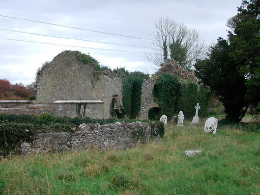 church/chapelchurch/chapel · 1372 yd
 Ecclesiastical enclosure in NewtownlowEcclesiastical enclosure · 1372 yd
 Church (in Ruins)Church · 1390 yd
 Lows Castle (in Ruins)Castle, unclassified · 1496 yd
 OutlinedEnclosure, large enclosure · 1720 yd
 Ardan WoodWood · 1.0 mi
 Bonfire HillMountain / peak · 1.4 mi
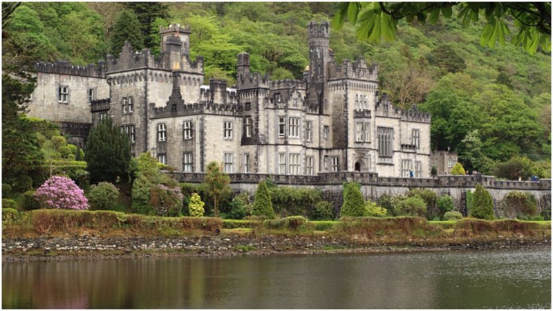 Kiltober CastleCastle, tower house · 2.4 mi
 Durrow HillMountain / peak · 3.2 mi
 Bracklin WoodWood · 3.8 mi
 St. Columba's WellSpring · 4.4 mi
 Grand Canal WayWalking route · 6.6 mi
Other information
Photo: National Inventory of Architectural Heritage · Website use allowed for educational or private purposes with source credit