What is recorded here
Marked on all OS eds. It has been concreted over and a manhole cover placed on top. It was circular (diam c. 4m) and was lined with a drystone wall (local information).
From the National Monuments Service (Archaeological Survey of Ireland) record CV022-029
The monument record does not grant public access. Check the route and ask the landowner before entering private land.
- What survives
- Recorded monument
Places near here
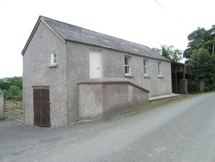 school753 yd
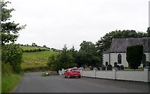 Kilmount Presbyterian ChurchChurch/chapel · 1686 ydGiants GraveArchaeological place · 2.3 miCarrickallenMountain / peak · 2.3 miCornanurneyMountain / peak · 2.3 miCarrickallen ForestForest · 2.4 mi
 Grave YardGraveyard · 3.1 mi
 Graveyard in Drumgoon (clankee By.)Graveyard · 3.4 mi
 Cormeen Glebe ForestForest · 4.1 mi
 Cabragh RingfortArchaeological place · 4.3 mi
 Welcome to Bailieborough DemesneVisitor information · 5.5 mi
 Brothers GravesVisitor information · 5.9 mi
Pictures: National Inventory of Architectural Heritage; Eric Jones, Geograph · Creative Commons Attribution-ShareAlike 2.0; Eric Jones, Geograph · CC BY-SA 2.0; Pamela Norrington, Wikimedia Commons · CC BY-SA 2.0; Oliver Dixon, Geograph · CC BY-SA 2.0
More archaeology and monuments in County Cavan · All of County Cavan
What do you know about this place?