What is recorded here
Holy Well of Ahachoura/Tobar na hAbha Cumhra: This well is located at the foot of Knocknadobar mountain, to which it gives its name, in the narrow valley that extends S from Coonanna Harbour towards the Ferta river. It comprises a pool, 1.6m in diameter, which is lined by a low wall of coursed stone. The pool is fed…
Read the whole record
From the National Monuments Service (Archaeological Survey of Ireland) record KE069-012
Places near here
Photo credits
- Maker not stated on source page, www.dreamstime.com
- Maker not stated on source page, www.knowth.com
- Maker not stated on source page, www.maltatoday.com.mt
- Donal.hunt, Wikimedia Commons · CC BY-SA 4.0
- National Inventory of Architectural Heritage
- User:Cqui, Wikimedia Commons · CC BY-SA 3.0
- Colin Park, Geograph · CC BY-SA 2.0
- Frank Donovan, Wikimedia Commons
- Maker not stated on source page, www.cntraveller.com
- Maker not stated on source page, www.alamy.com
- Dennis Turner, Geograph · CC BY-SA 2.0
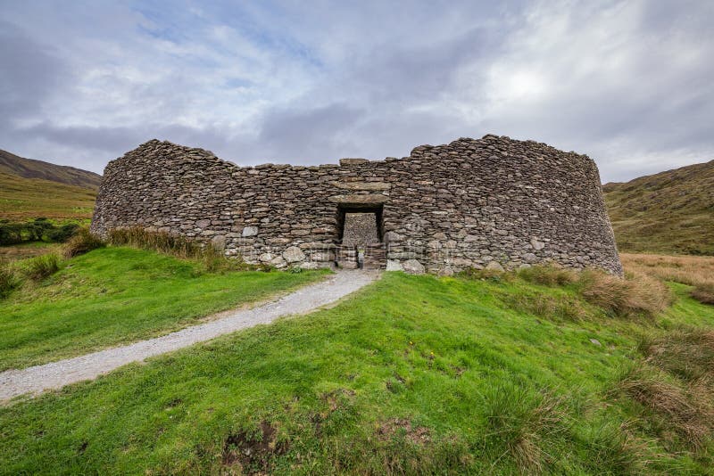 Fairy fort / stone ringfort in CloghanelinaghanFairy fort / stone ringfort · 949 yd
Explorer Tom Fairy fort / stone ringfort in Cloghanelinaghan is involved in a fairy dispute over parking rights at the harbour. The…
 Standing stone in BallydarrigStanding stone · 1197 yd
Explorer Tom Standing stone in Ballydarrig was saved by a hero nobody remembers who probably just wanted to go home for dinner. Now…
 IllaunnacartanIslet · 1.2 mi
Explorer Tom The map makers probably got Illaunnacartan wrong because they were drunk on porter and mistook a shadow for land. Now…
 O'Connell MonumentMonument · 1.7 mi
Explorer Tom The O'Connell Monument in Carhan Lower makes a suspicious creaking sound at night when the wind hits it right. Alan…
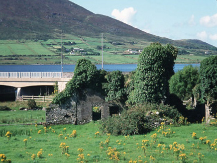 Carhan HouseHouse · 1.8 mi
Explorer Tom Carhan House in Carhan Lower is just a ruin now, but back in 1770 it was fancy. Rumor has it a fox moved in and started…
 KnocknadobarMountain / peak · 1.8 mi
Explorer Tom Knocknadobar rises above the Kerry coast with a pilgrim path on one side and the kind of view that makes a tired walker…
 Knocknadobar North TopMountain / peak · 2.0 mi
Explorer Tom Knocknadobar North Top used to be run by a matchmaker who paired off hikers based on their hat collection alone. It…
 The Old BarracksVisitor attraction · 2.0 mi
Explorer Tom Cahersiveen put a castle at the end of Bridge Street, then cheekily called it The Old Barracks, as though turrets over…
 Lamb IslandIslet · 4.6 mi
Explorer Tom Little Lamb Islet is refusing to fall down because it thinks gravity is just a rumour started by jealous boulders. It…
 Mapped cemeteryCemetery · 5.6 mi
Explorer Tom Mapped cemetery in County Kerry would handle a reality show by ignoring the cameras entirely and letting the drama…
 Cromwell PointHeadland · 5.7 mi
Explorer Tom Cromwell Point ended up in County Kerry after getting lost on a very long walk from London, and it’s been stuck ever…
 Kilmore GraveyardCemetery · 5.7 mi
Explorer Tom Kilmore Graveyard in County Kerry was built on a bargain where someone traded a horse for the land and both parties…
More archaeology and monuments in County Kerry · All of County Kerry

What do you know about this place?Tap to add a comment or ask a question