
What is recorded here
From the National Monuments Service (Archaeological Survey of Ireland) record KE069-017
Places near here
Photo credits
- Maker not stated on source page, www.maltatoday.com.mt
- Maker not stated on source page, www.agriland.ie
- Maker not stated on source page, www.pinterest.com
- Maker not stated on source page, www.dreamstime.com
- User:Cqui, Wikimedia Commons · CC BY-SA 3.0
- Maker not stated on source page, www.flickr.com
- National Inventory of Architectural Heritage
- Donal.hunt, Wikimedia Commons · CC BY-SA 4.0
- Maker not stated on source page, br.pinterest.com
- Colin Park, Geograph · CC BY-SA 2.0
- Mat Tuck, Wikimedia Commons · CC BY-SA 2.0
- Frank Donovan, Wikimedia Commons
 IllaunnacartanIslet · 1321 yd
Explorer Tom The map makers probably got Illaunnacartan wrong because they were drunk on porter and mistook a shadow for land. Now…
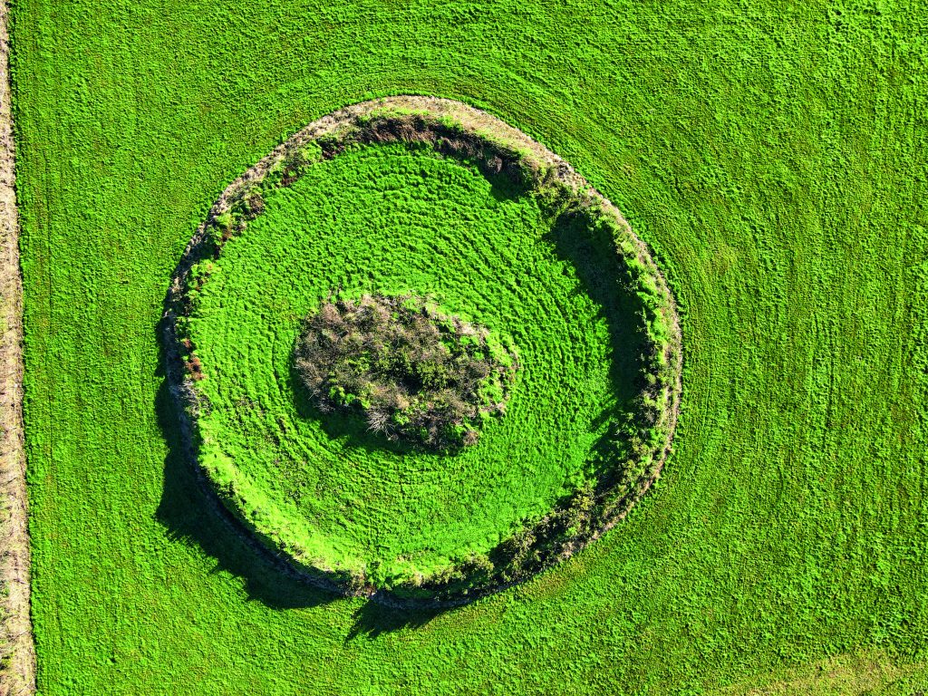 Fairy fort / earthen ringfort in Deelis (iveragh By.)Fairy fort / earthen ringfort · 1.1 mi
Explorer Tom Fairy fort / earthen ringfort in Deelis would review its visitors as 'mediocre at finding things' since they levelled…
 Enclosure in Deelis (iveragh By.)Enclosure · 1.2 mi
Explorer Tom Enclosure in Deelis got it wrong on the map, probably because the cartographer was having a nap. It’s a circle of…
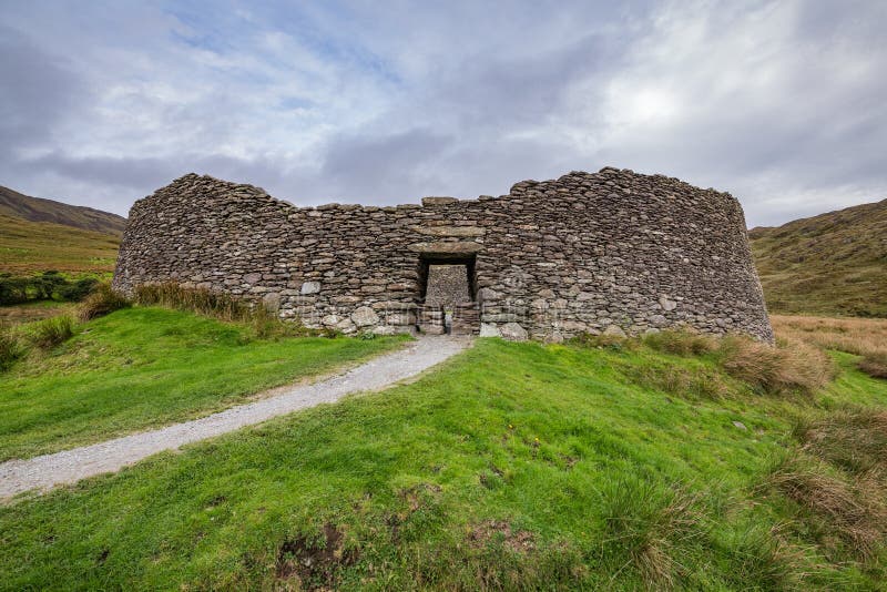 Fairy fort / stone ringfort in CloghanelinaghanFairy fort / stone ringfort · 1.2 mi
Explorer Tom Fairy fort / stone ringfort in Cloghanelinaghan is involved in a fairy dispute over parking rights at the harbour. The…
 KnocknadobarMountain / peak · 1.4 mi
Explorer Tom Knocknadobar rises above the Kerry coast with a pilgrim path on one side and the kind of view that makes a tired walker…
 Fairy fort / earthen ringfort in CloghanelinaghanFairy fort / earthen ringfort · 1.5 mi
Explorer Tom Fairy fort / earthen ringfort in Cloghanelinaghan is so small it could fit inside a very generous suitcase if you…
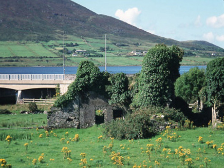 Carhan HouseHouse · 1.7 mi
Explorer Tom Carhan House in Carhan Lower is just a ruin now, but back in 1770 it was fancy. Rumor has it a fox moved in and started…
 O'Connell MonumentMonument · 1.7 mi
Explorer Tom The O'Connell Monument in Carhan Lower makes a suspicious creaking sound at night when the wind hits it right. Alan…
 Standing stone in CloghanelinaghanStanding stone · 1.8 mi
Explorer Tom Standing stone in Cloghanelinaghan was broken up around 1900, which feels like a very dramatic breakup story. It has…
 Knocknadobar North TopMountain / peak · 1.8 mi
Explorer Tom Knocknadobar North Top used to be run by a matchmaker who paired off hikers based on their hat collection alone. It…
 Valencia River ViaductBridge · 2.1 mi
Explorer Tom The Valencia River Viaduct has an imaginary fan club that meets every Friday to stare at it. It closed in 1960 but…
 The Old BarracksVisitor attraction · 2.3 mi
Explorer Tom Cahersiveen put a castle at the end of Bridge Street, then cheekily called it The Old Barracks, as though turrets over…
More archaeology and monuments in County Kerry · All of County Kerry

What do you know about this place?Tap to add a comment or ask a question