
What is recorded here
Marked and named as a holy well in SE corner of a field on 1st ed. of OS 6-inch map. However, only the name appears on 3rd ed. (1915). No visible surface trace survives.
The above description is derived from the published 'Archaeological Inventory of County Galway Vol. II - North Galway'. Compiled by Olive Alcock, Kathy de hÓra and Paul Gosling (Dublin: Stationery Office, 1999).
Date of upload: 05 August 2010
Linked to an unidentified saint or local tradition, the well at Keave may have been associated with general healing or fertility rites, as was common with many holy wells in rural Ireland. Its disappearance from the landscape and lack of surviving structures suggest it was a small, possibly seasonal site, maintained through local folklore rather than formal religious practice.
The monument record does not grant public access. Check the route and ask the landowner before entering private land.
- What survives
- Recorded monument
Places near here
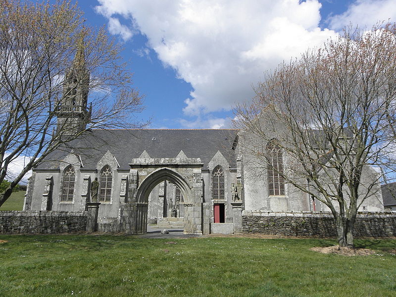 Site of R.C. ChapelChapel · 90 yd
 Enclosure in Keave,killen (kilconnell By.),lattoonEnclosure · 126 yd
 Castle Ffrenchgate lodge · 1.1 mi
 RoadRoad, class 3 togher · 1.1 mi
 Tower (in Ruins)Castle, tower house · 1.4 mi
 Clonbrock CastleCastle, tower house · 2.3 mi
 Sweet ChestnutSweet Chestnut · 2.3 mi
 SycamoreSycamore · 2.6 mi
 Inch IslandIsland · 4.4 mi
 Ballinlass Eviction MemorialMemorial · 5.8 mi
 Kilconnell AbbeyHeritage attraction · 7.4 mi
 Mount MaryMountain / peak · 9.1 mi
Other information
Photo: Credit not shown in the picture search · Rights wording not checked; contact us if this picture should be removed