What is recorded here
O'Rorke (1878, 277) noted that 'a little to the east of the cruckawn is, or rather was, a well, called Tubbermurro, where stations used to be performed by the people of the neighbourhood. The well lay in a hollow between two bushes and the devotees made a circuit on their knees round the bushes, attaching to one or other of them, at the close of the exercise, a small strip of scrap of cloth, in token, probably, of willingness to make a more valuable offering if circumstances permitted or required. Either by accident or by design the water supply was cut off and the well dried, about thirty years ago, by persons quarrying close to Tubbermurro.' A footnote states that Tubbermurro signifies 'Mary's Well'. The precise location of this holy well is not known. This account may refer to a possible holy well in the townland of Cooney (SL020-265----).
Compiled by: Archaeological Survey Unit, UCC.
Date of upload: 19 January 2011
The monument record does not grant public access. Check the route and ask the landowner before entering private land.
- What survives
- Recorded monument
Places near here
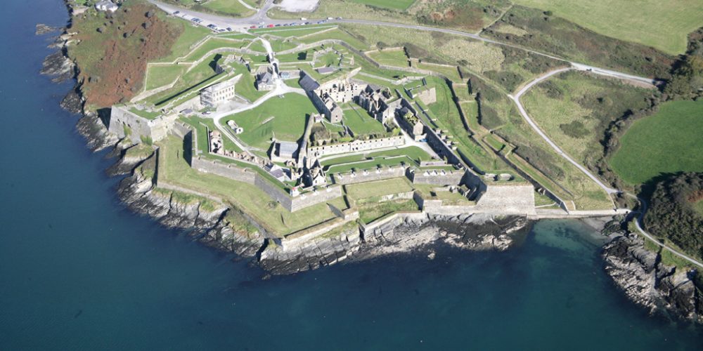 Bastioned fort in UnknownBastioned fort · 1 yd
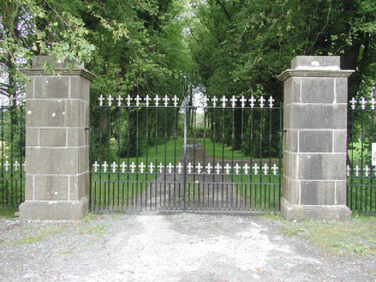 Longford Housegates/railings/walls · 91 yd
 Bawn in Longford DemesneBawn · 168 yd
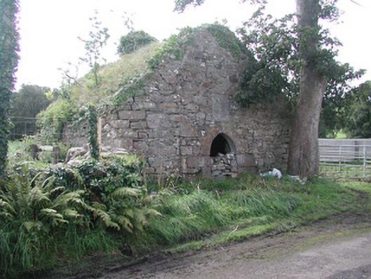 forge/smithyforge/smithy · 296 yd
 Pigeonpark WoodForest · 331 yd
 Valley WoodForest · 455 yd
 Enclosure in Longford DemesneEnclosure · 563 yd
 Giant's GraveArchaeological place · 1.4 mi
 CloonaghMountain / peak · 1.8 mi
 CastleCastle, ringwork · 2.3 mi
 Lahanacappul IslandIslet · 2.5 mi
 Ballinlig PointHeadland · 2.7 mi