What is recorded here
Situated in low-lying, wet pasture, to the immediate E of a structure (long-axis N-S). Depicted on the 1837 ed. OS 6-inch map as a well. A bullaun stone (WM030-025002-) lies c. 55m to W. According to English (1968), a holy well named after St Patrick is situated on the edge of the river, to rear of the school, close to a bullaun stone which is known as St Patrick’s knee. Monument described in 1979 as the remains of a well which is defined by a collapsed sod-covered stone wall (H c. 0.3m) that is partly disturbed at NW. The well is choked with weeds and some small stones and still contains water. It is overshadowed by some thorn bushes and a large, dead tree to SE. There are no indications of any outer enclosure or of any veneration of the well. Monument is visible today as a poorly drained wet patch of ground on Digital Globe aerial photography.
Compiled by Alison McQueen, Vera Rahilly and Caimin O’Brien.
Date of upload: 08 November 2019
Linked to Saint Gobnait, the well is traditionally associated with cures for eye ailments and was a site of pilgrimage, particularly in early summer. The presence of a nearby bullaun stone suggests ritual or ecclesiastical activity connected to the saint’s cult.
The monument record does not grant public access. Check the route and ask the landowner before entering private land.
- What survives
- Recorded monument
Places near here
 Enclosure in MoyvoughlyEnclosure · 221 yd
 CastleCastle, unclassified · 259 yd
 OutlinedEnclosure · 303 yd
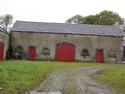 Moyvoughly Housestables · 938 yd
 gates/railings/wallsgates/railings/walls · 1.2 mi
 Site of Lissanode CastleCastle, unclassified · 1.8 mi
 Japanese pagoda treeJapanese pagoda tree · 2.5 mi
 Dún na Sí Heritage CentreMuseum · 3.2 mi
 Dún na SíMuseum · 3.3 mi
 Charles BianconiMemorial · 3.4 mi
 Moate HillMountain / peak · 3.5 mi
 Kilmalady HillMountain / peak · 6.6 mi