What is recorded here
SW of Gowran, c. 40m N of a tributary of the River Barrow which flows c. 5km to the E, immediately W of the road leading from the town to Castle Ellis Bridge, in pasture. Not indicated on the 1st (1839) ed. OS 6-inch map but indicated and annotated 'W' on the 1900 revision. According to local tradition it was known as 'St Patrick's Well' (pers. comm. Mary Moran, 7 July 1992) and this suggests it was a holy well. The well has been closed up and is no longer visible in the field. The 'Bastionfort Well' is located c. 160m to the W in the same field, though in a different townland.
Compiled by: Jean Farrelly
Date of upload: 25 March 2021
Linked to St Brigid, the well is traditionally associated with healing and fertility, with pilgrims visiting to seek cures for ailments and to leave offerings. The site's absence from early maps suggests a long-standing but undocumented devotional practice in the area.
The monument record does not grant public access. Check the route and ask the landowner before entering private land.
- What survives
- Recorded monument
Places near here
 Castle Ellis Bridgebridge · 53 yd
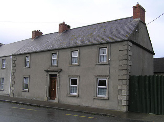 Bridge Househouse · 88 yd
 Ballyshanemore Cas. (in ruins)Castle, tower house · 466 yd
 CrossCross, Market cross (present location) · 476 yd
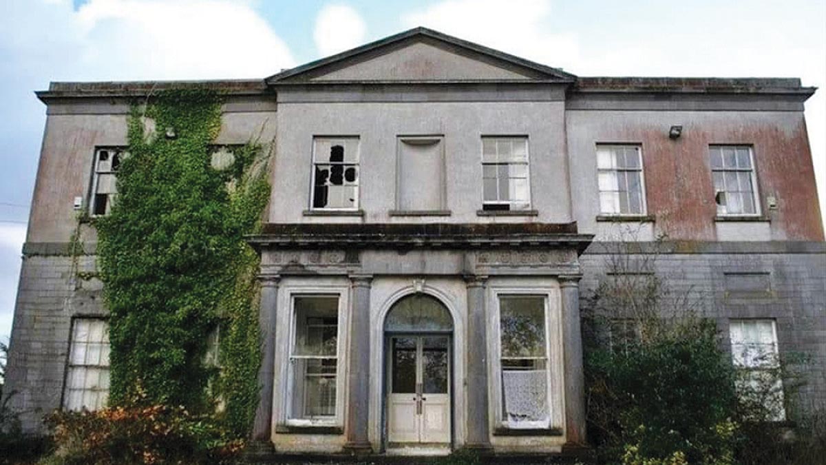 Bawn in Gowran DemesneBawn · 493 yd
 Font in GowranFont · 579 yd
 The Pey FieldForest · 2.9 mi
 The ClahounForest · 2.9 mi
 Tullaherin Church and Round TowerVisitor information · 4.1 mi
 St. Mogarra’s WellSpring · 4.5 mi
 Kilbline GraveyardArchaeological place · 5.0 mi
 Time CapsuleMemorial · 5.2 mi